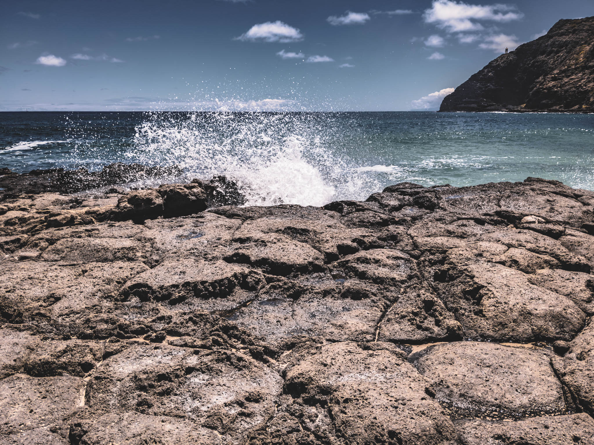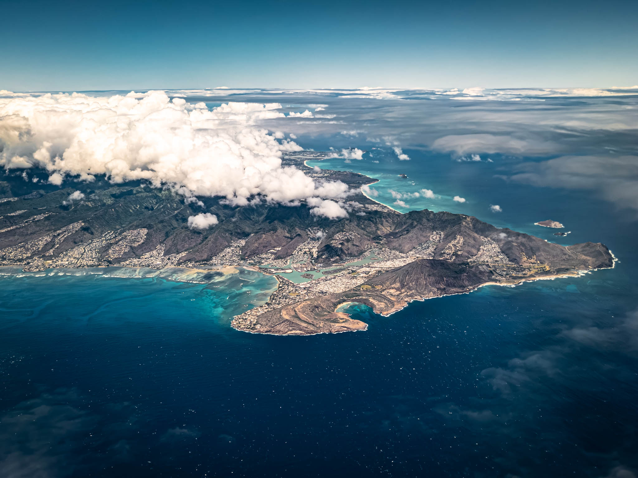
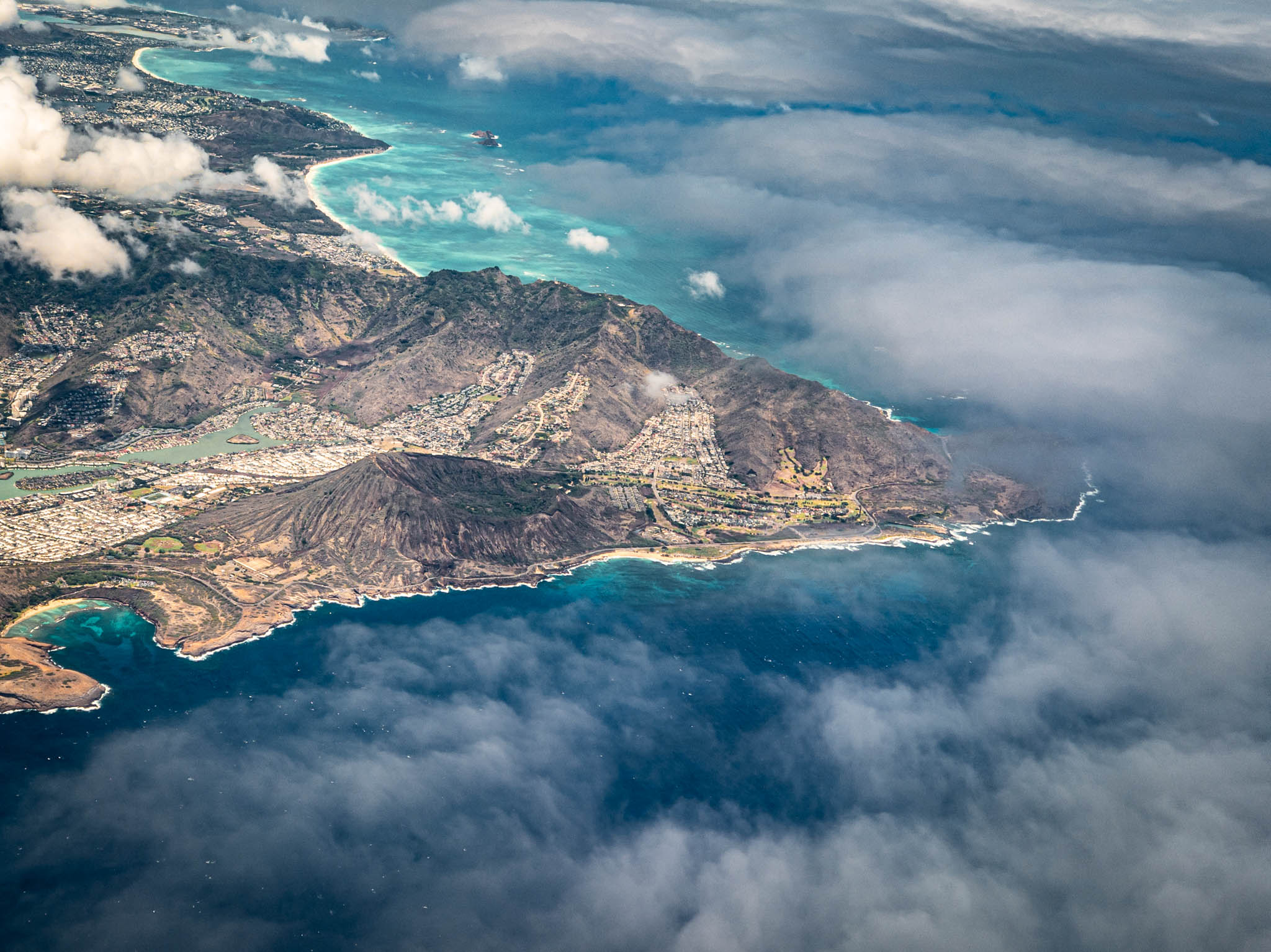
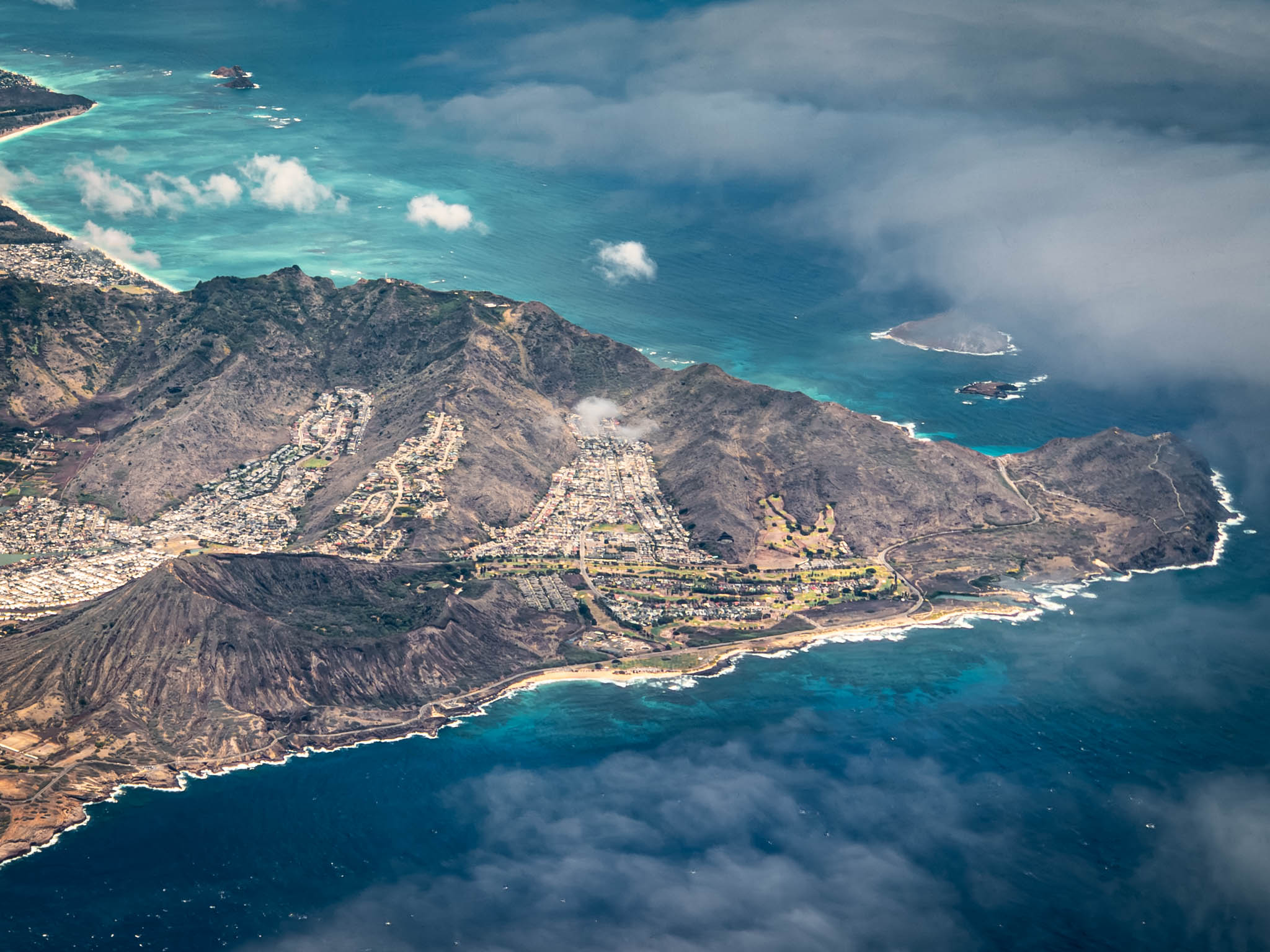
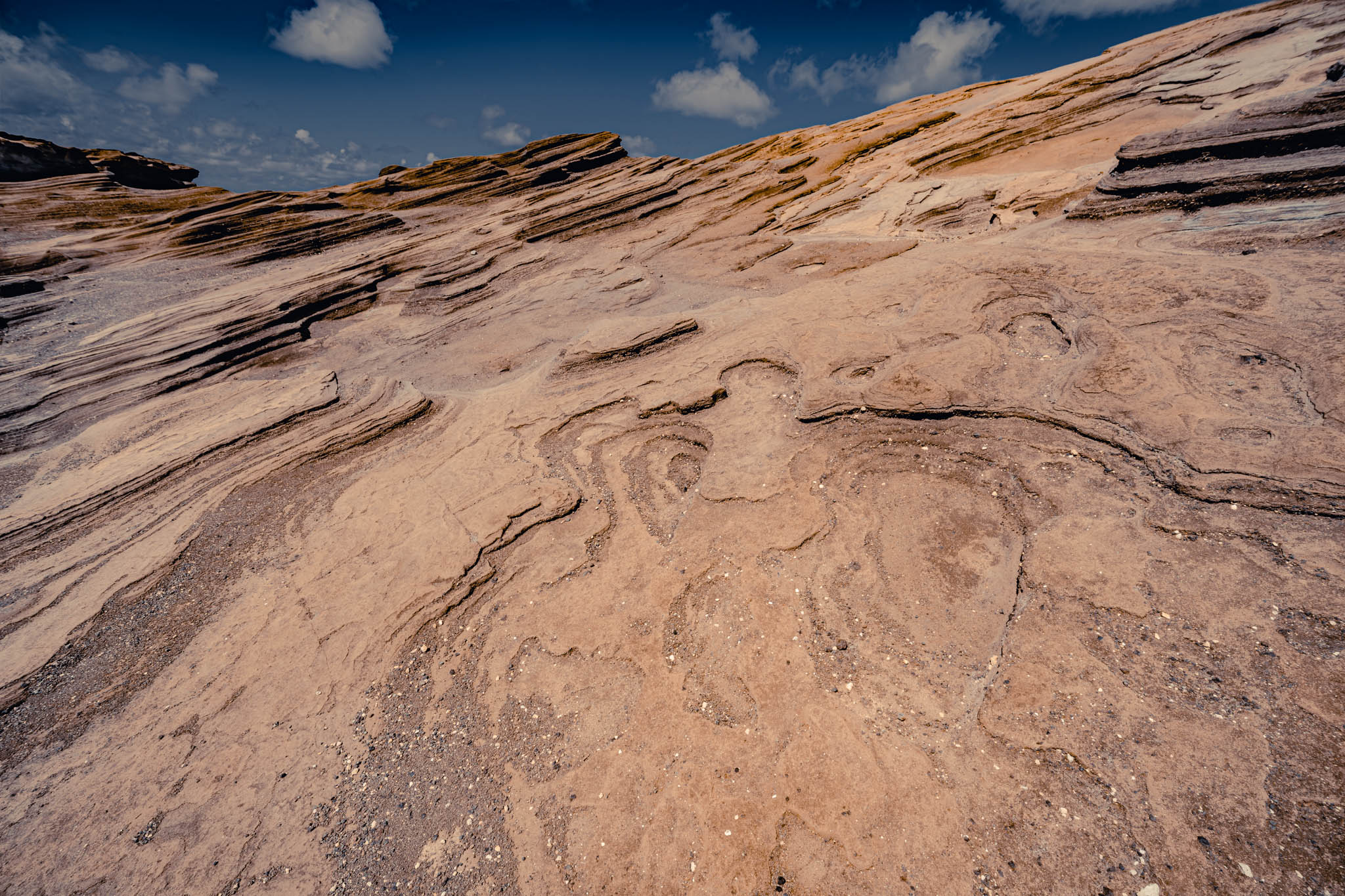
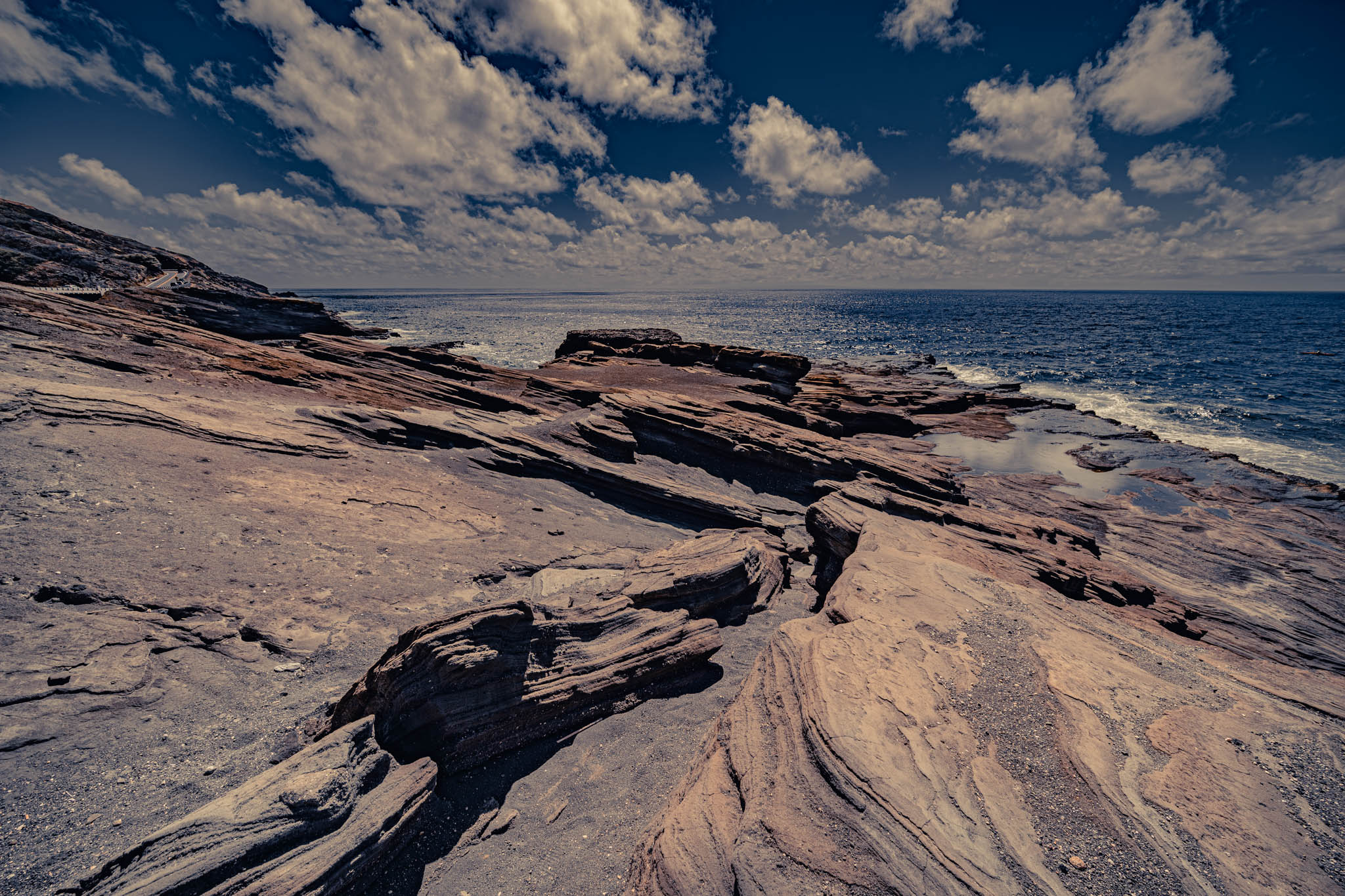
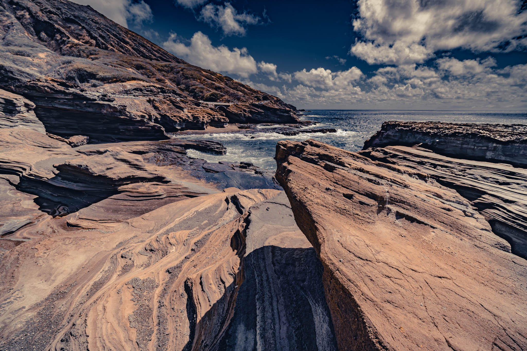
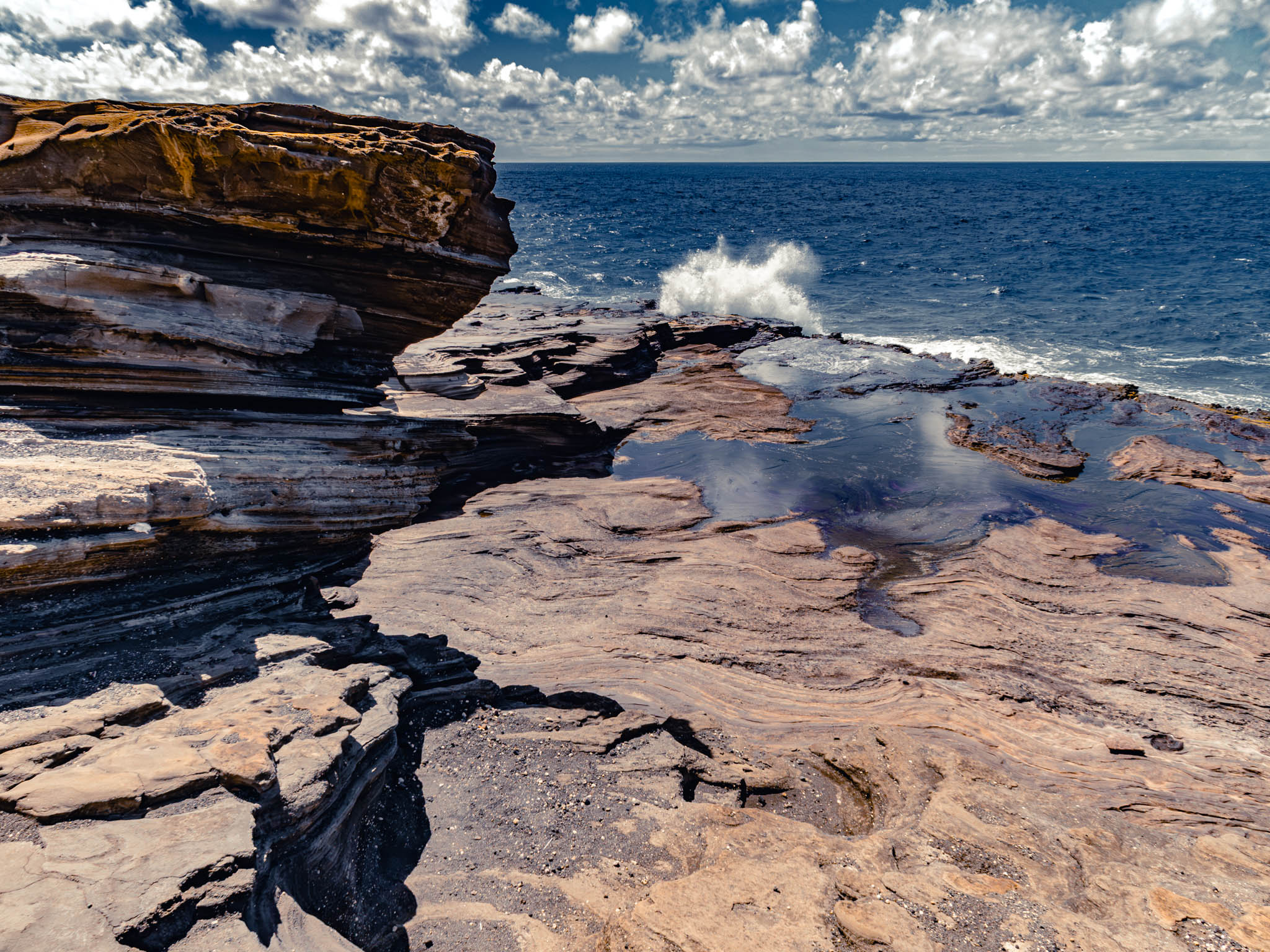
The elevated six-lane, high-speed, Google Maps-beloved “pseudo-Interstate” Lunalilo Freeway (named after “Prince Bill”, the popular but short-lived progressive sixth monarch, but designated by the distant federal government “H1”) suddenly comes to astonishing and abrupt end at a traffic light at Ainakoa Avenue in Kahala. Cross to the other side of the intersection and one is on Kalanianaʻole Highway (which honors, in its turn, the great prince- turned- Congressman). And Kalanianaʻole quickly narrows to four lanes and then finally to a simple two-lane blacktop at Hawaii Kai, right past a shopping mall that seems to have seen better days — like almost every shopping center that isn’t on Kalākaua or Ala Moana — and a hulking Mormon temple. Not far past the reservations-only snorkeling paradise of Hanauma Bay the “highway” suddenly becomes a bendy coastal double-line winding below Koko Crater, where the lava shelves tumble into the ocean in a patch of desiccated rain-shadow scrubland. It always seems like this “desert-island” phase of the road is longer here than it possibly could be, if one traces it on a map.
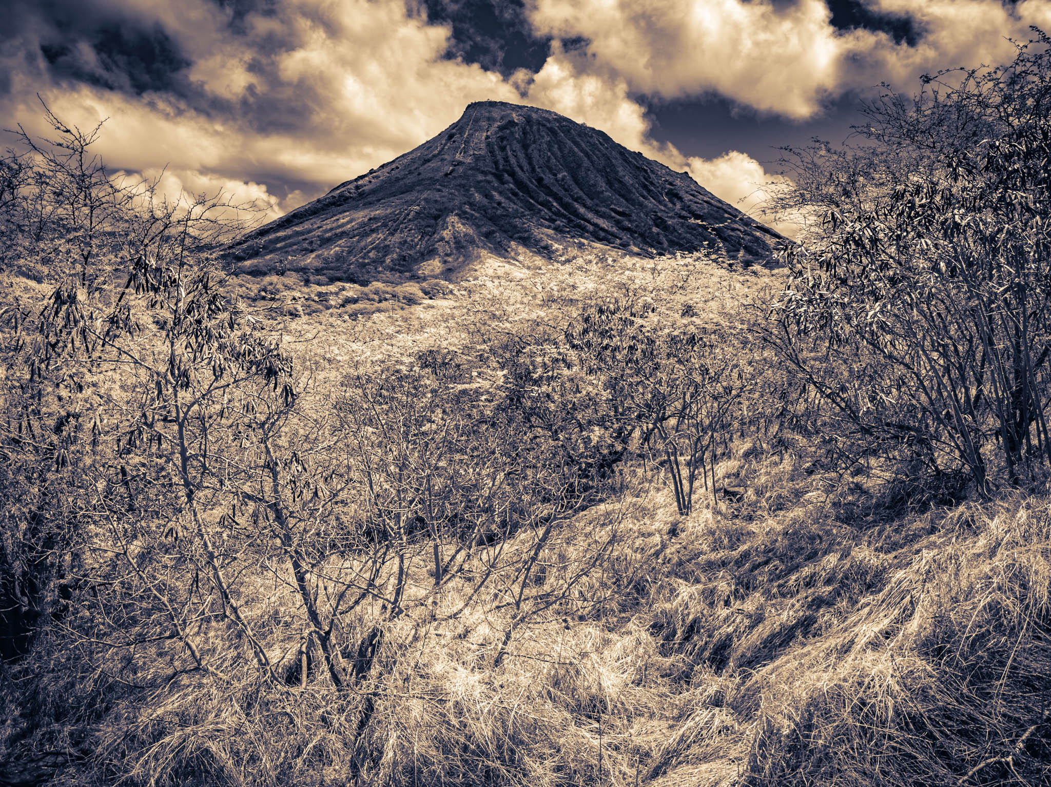
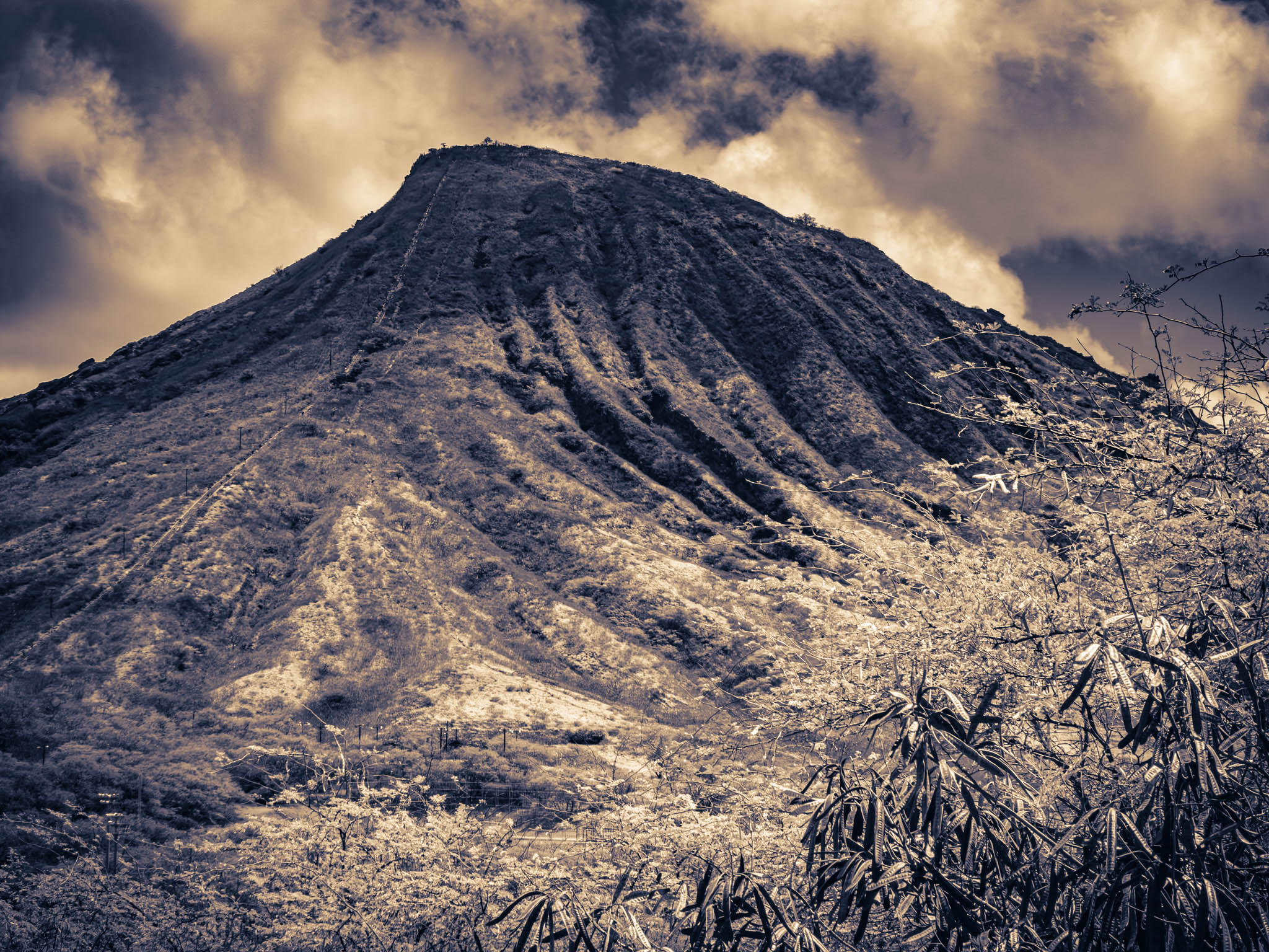
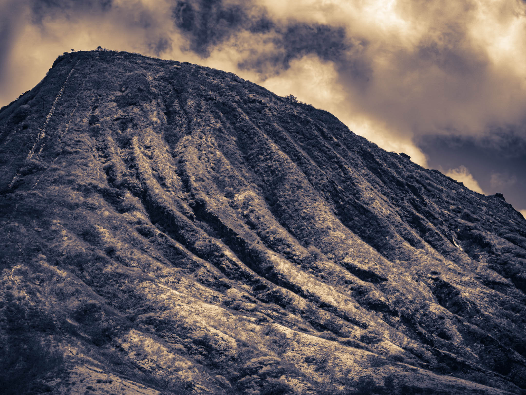
I have driven down Lunalilo/Kalaniana’ole a couple of times a year, for the last decade or so, during visits to Oahu and my inlaws there, and I usually take the road when I am bored and by myself: when everyone else is visiting the Pang family graves; or meeting with ever-more obscure aunties and uncles (who aren’t usually aunts or uncles in the specific Mainland manner); or else going to some new “Asian hair” specialist hairdresser that some distant cousin discovered somewhere in west Honolulu in a different shopping mall that has seen better days. In other words, when I suddenly (usually after breakfast, at the last moment) discover that I am on my haole-own for the day, and I have already “done” the Bishop Museum and walked around ʻIolani Palace enough for a particular Hawaiian trip.
I’ve always wanted to take Kalanianaʻole to the Makapu‘u Point turnoff, at the southeast corner of Oahu, and then hike to the lighthouse at the very end, with maybe a sidetrip to the mysterious Pele’s Chair rock formation. Because I simply live for lonely lighthouses and mysterious rock formations, don’cha know? Yet inevitably and frustratingly enough, I’ve never been able to find a parking space, in all these visits, at the trailhead in the very- designated- don’t- you- dare- park- anywhere- else. Each time, there have been too many tourists already there, unloading their massive SUVs and prepping as if they were going to trek the Serengeti.
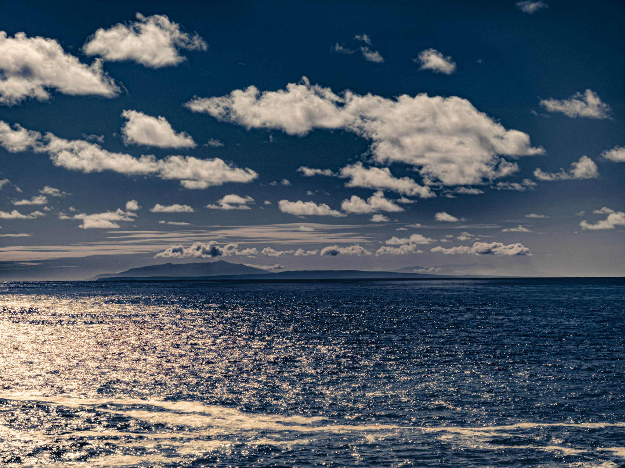
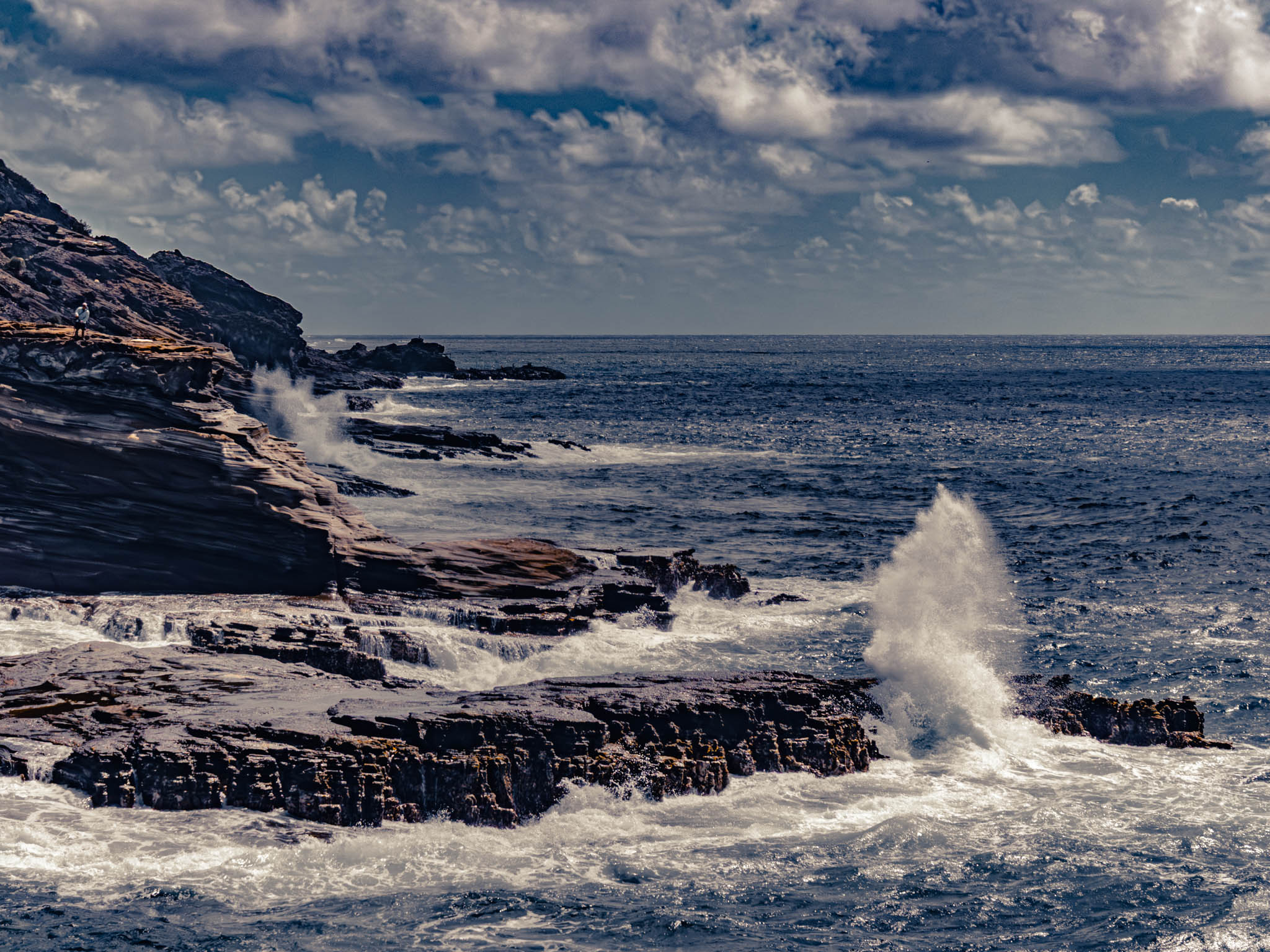
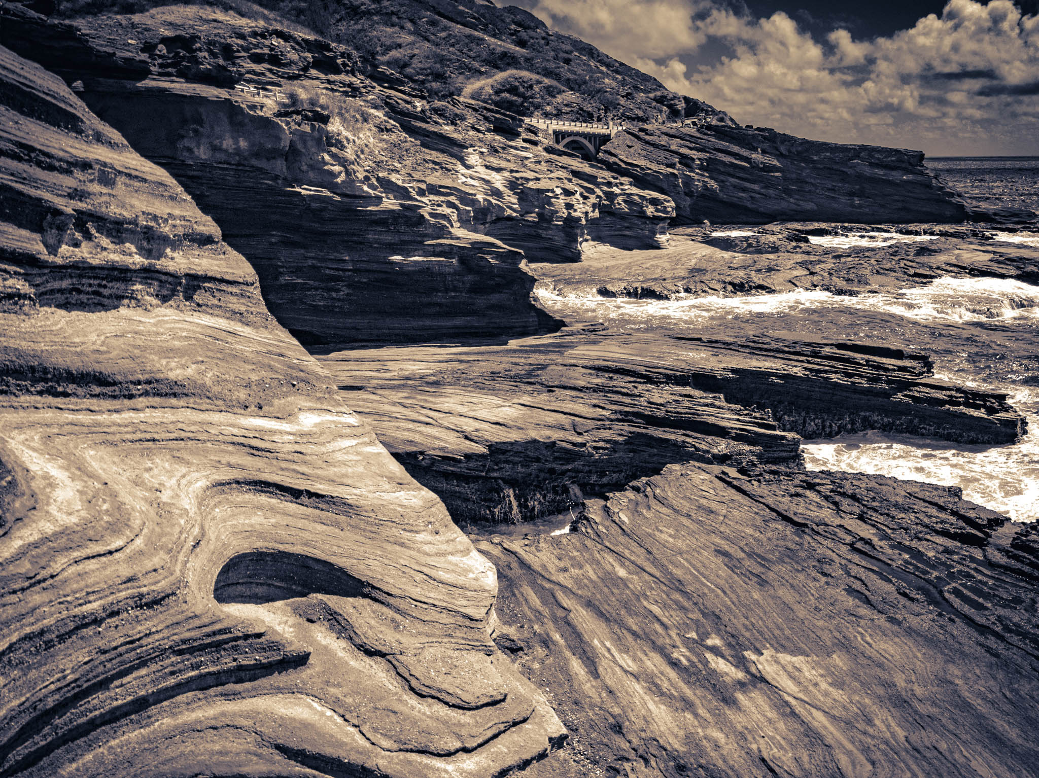
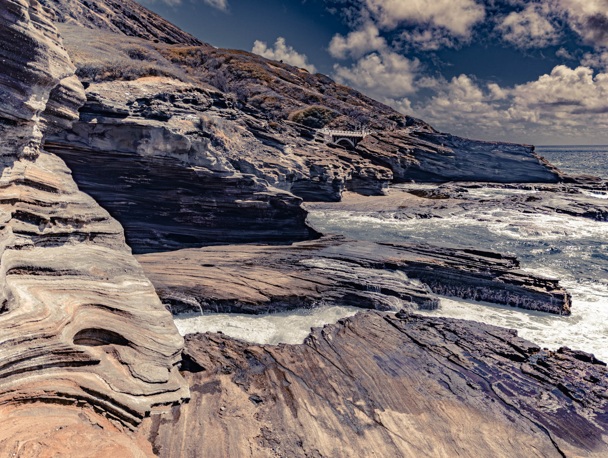
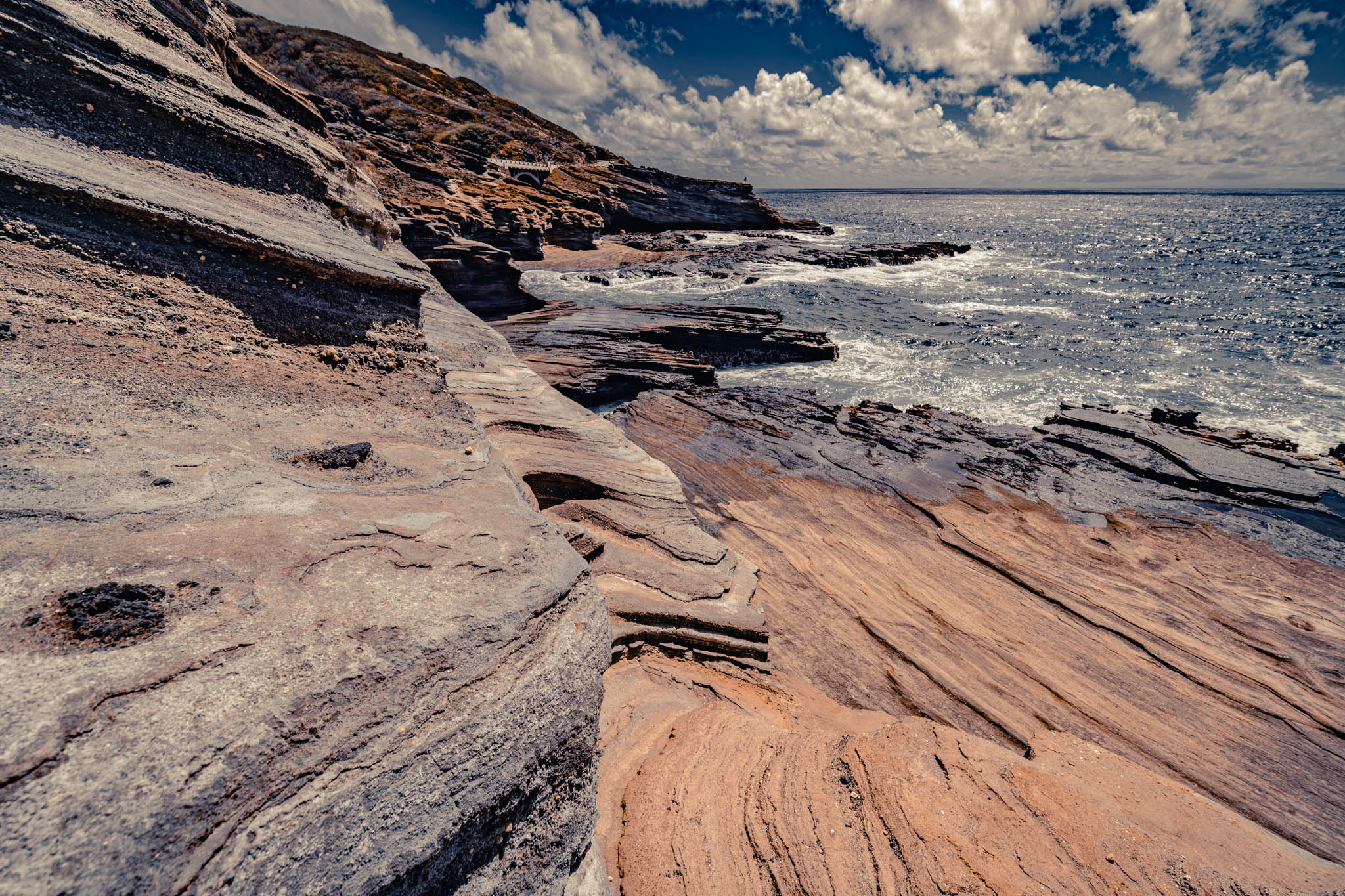
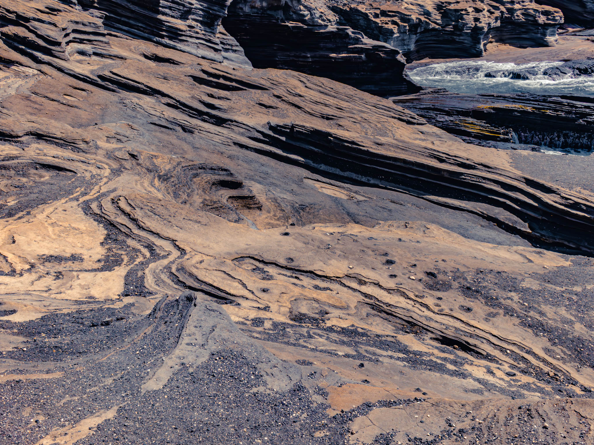
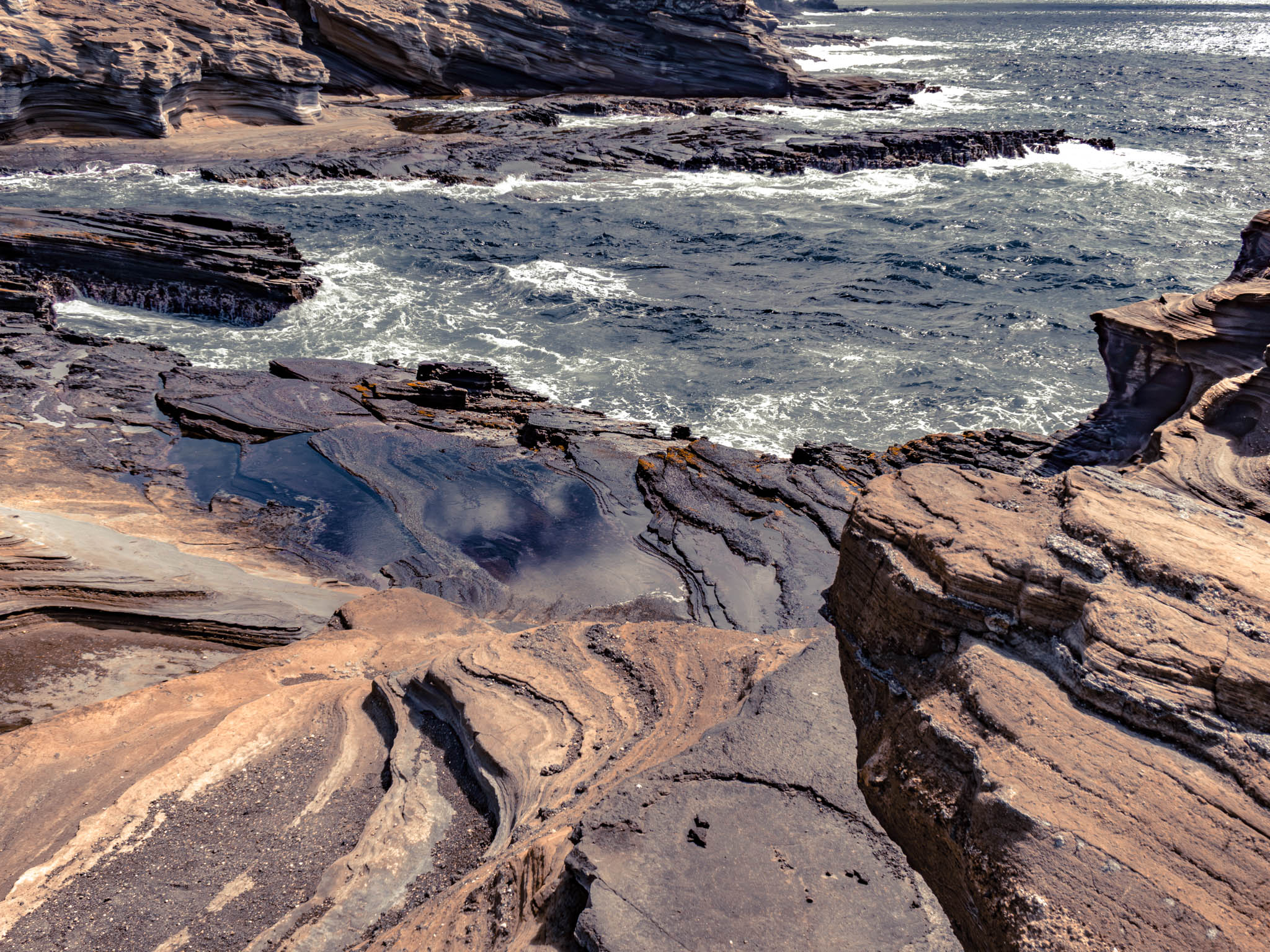
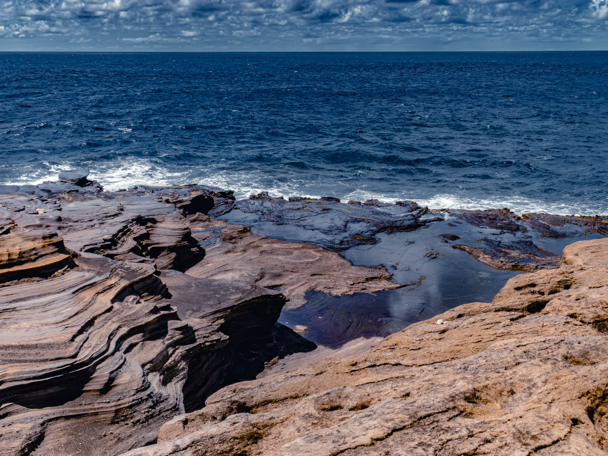
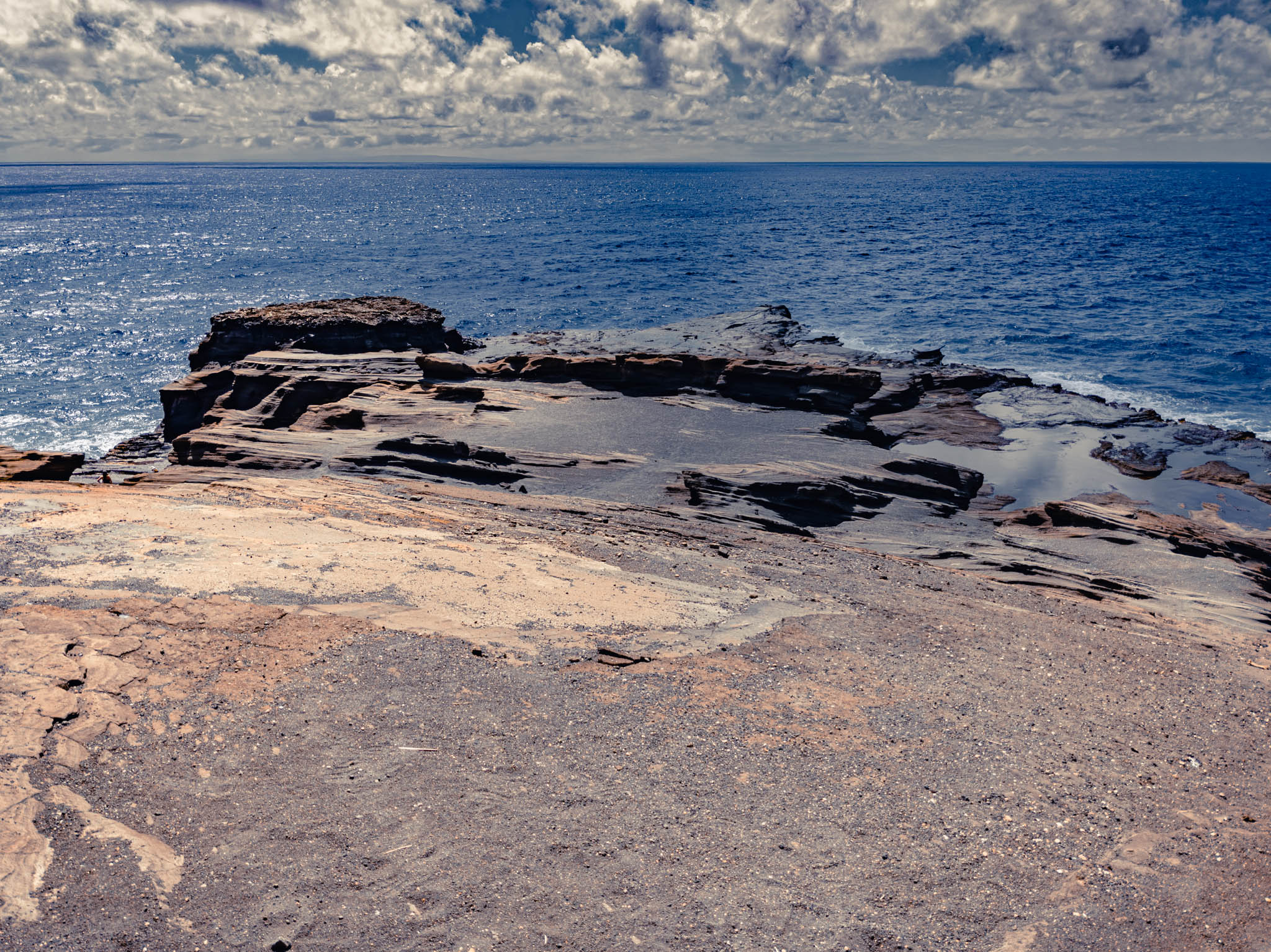
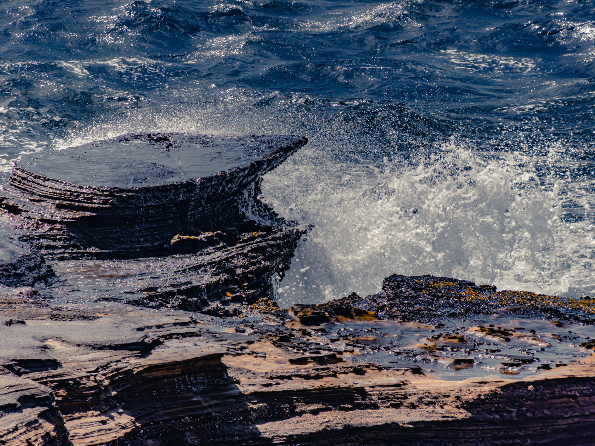
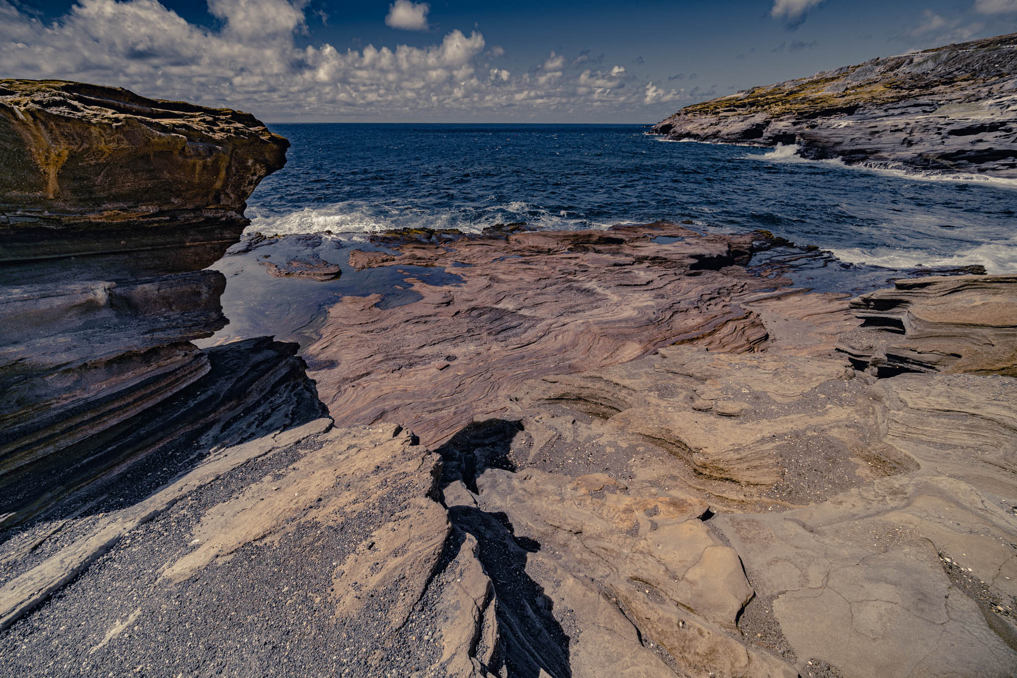
With equal inevitability I’ve decided that bushwhacking up the coast for a few miles into the Makapu’u trail system from Kaloko Beach is too sketchy an impromptu operation to seriously consider.
The same thing happened again, in fact twice, over the last three days. The first day, on my frustrated way back to Kapālama, I suddenly decided to pull into the tiny “Lanai Lookout” to search the Web on my phone and see if there was some other unusual Oahu thing I could do or odd Oahu place nearby I could visit, as an alternative to simply burning expensive Oahu gasoline in my rental car.
Sure enough, of course there was.
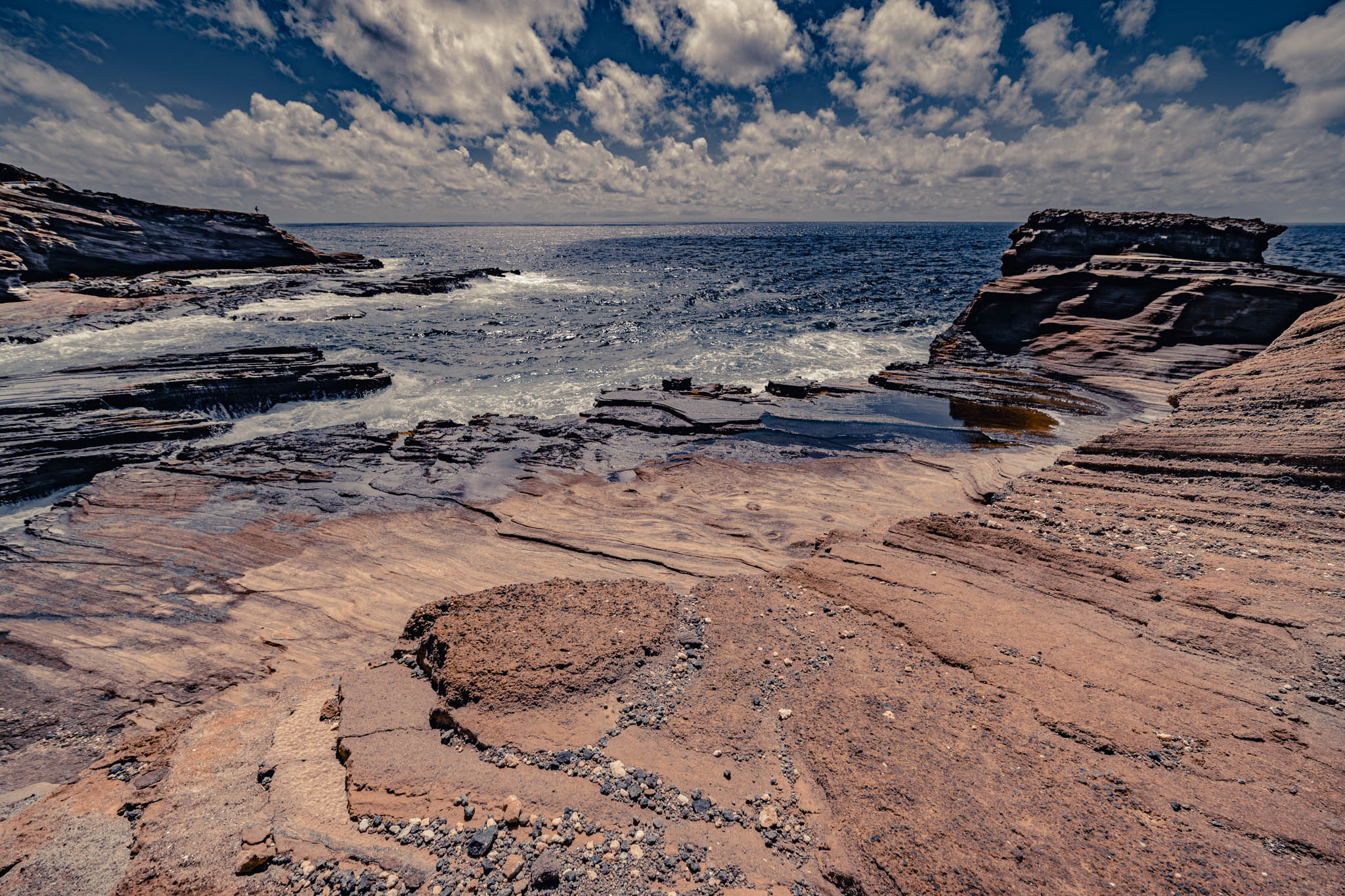
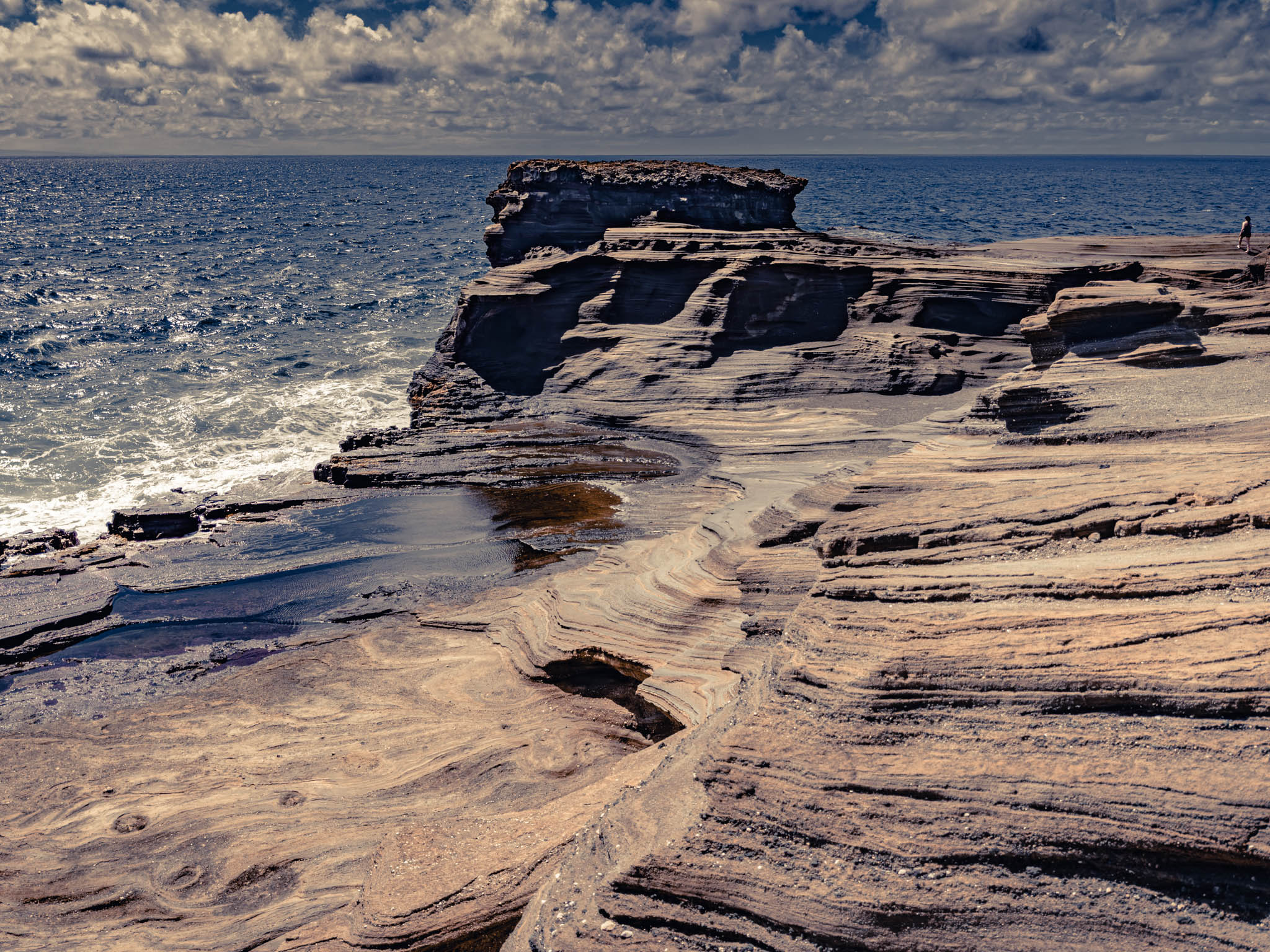
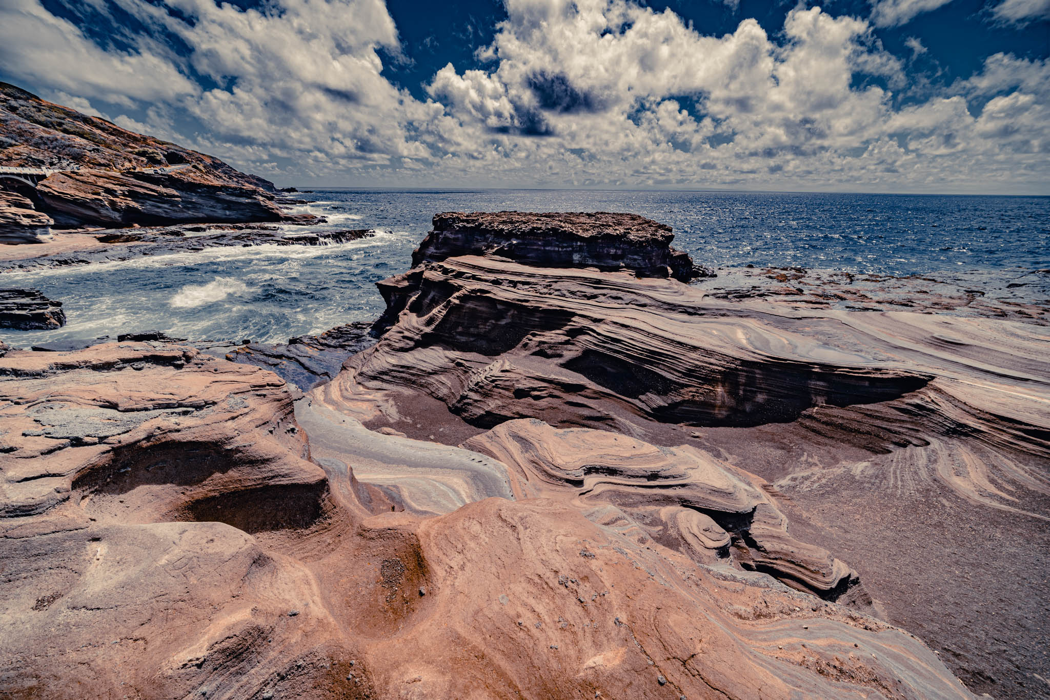
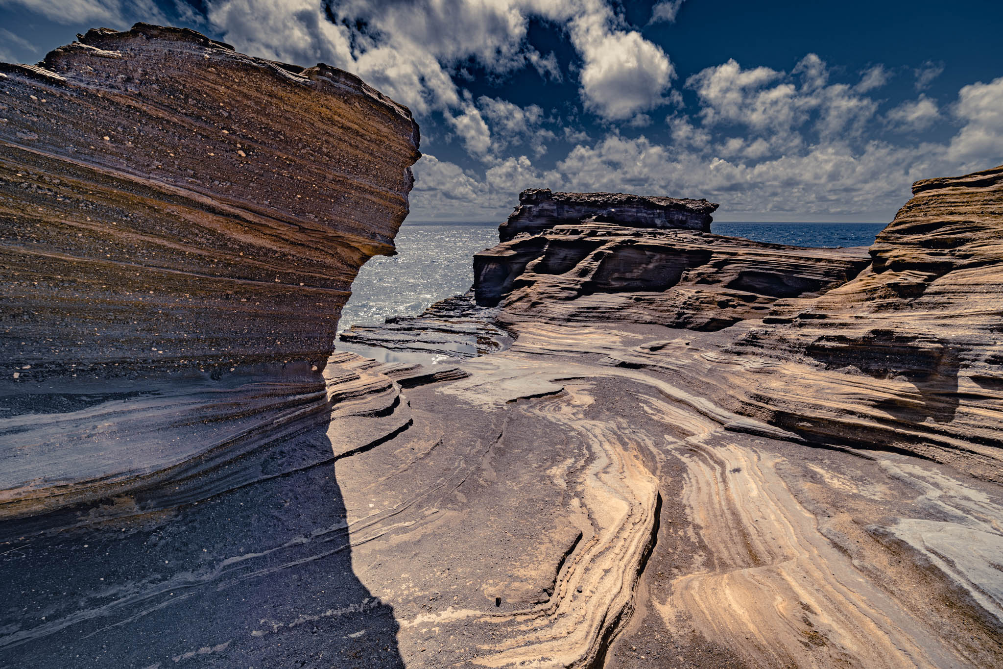
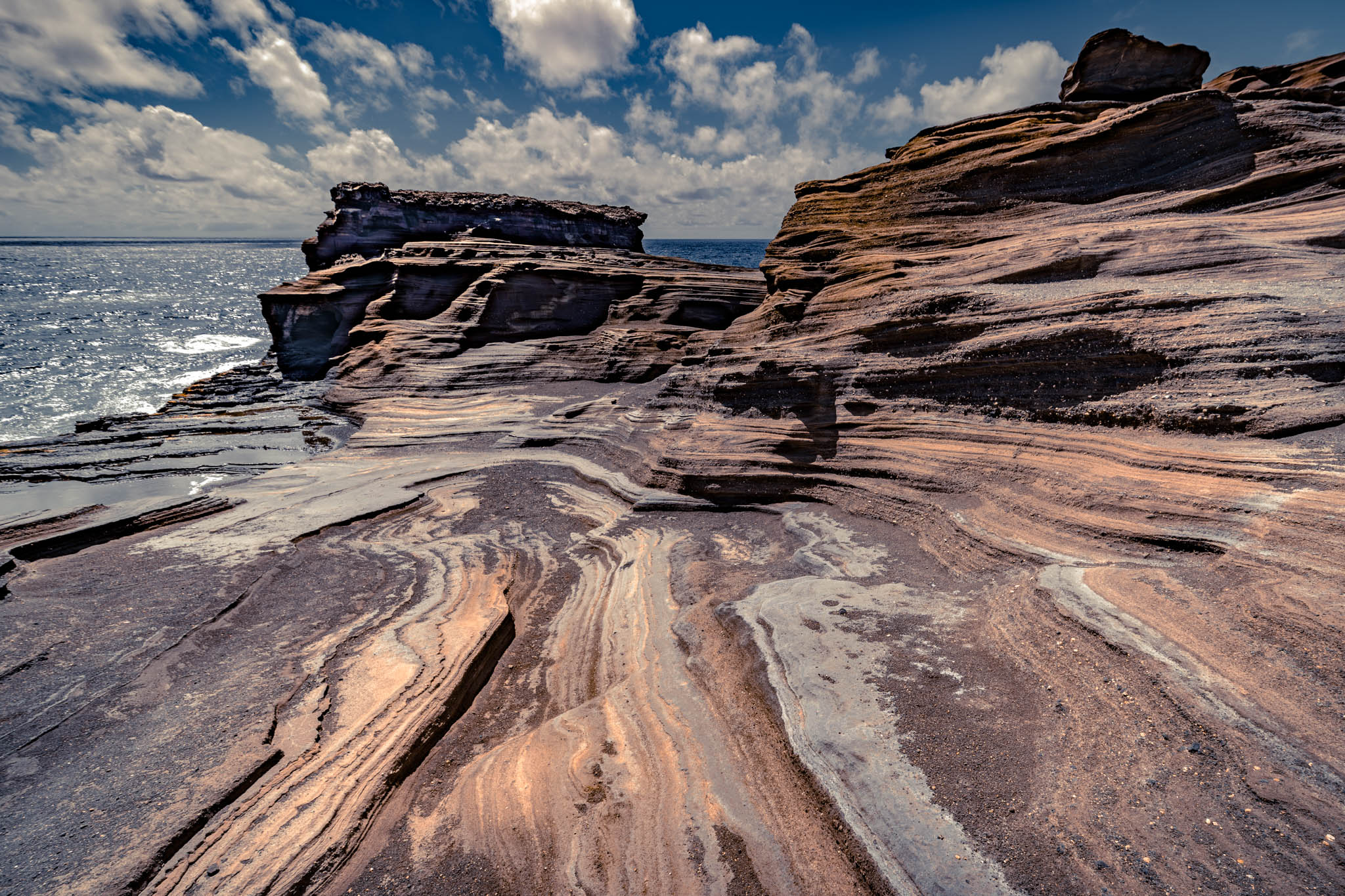
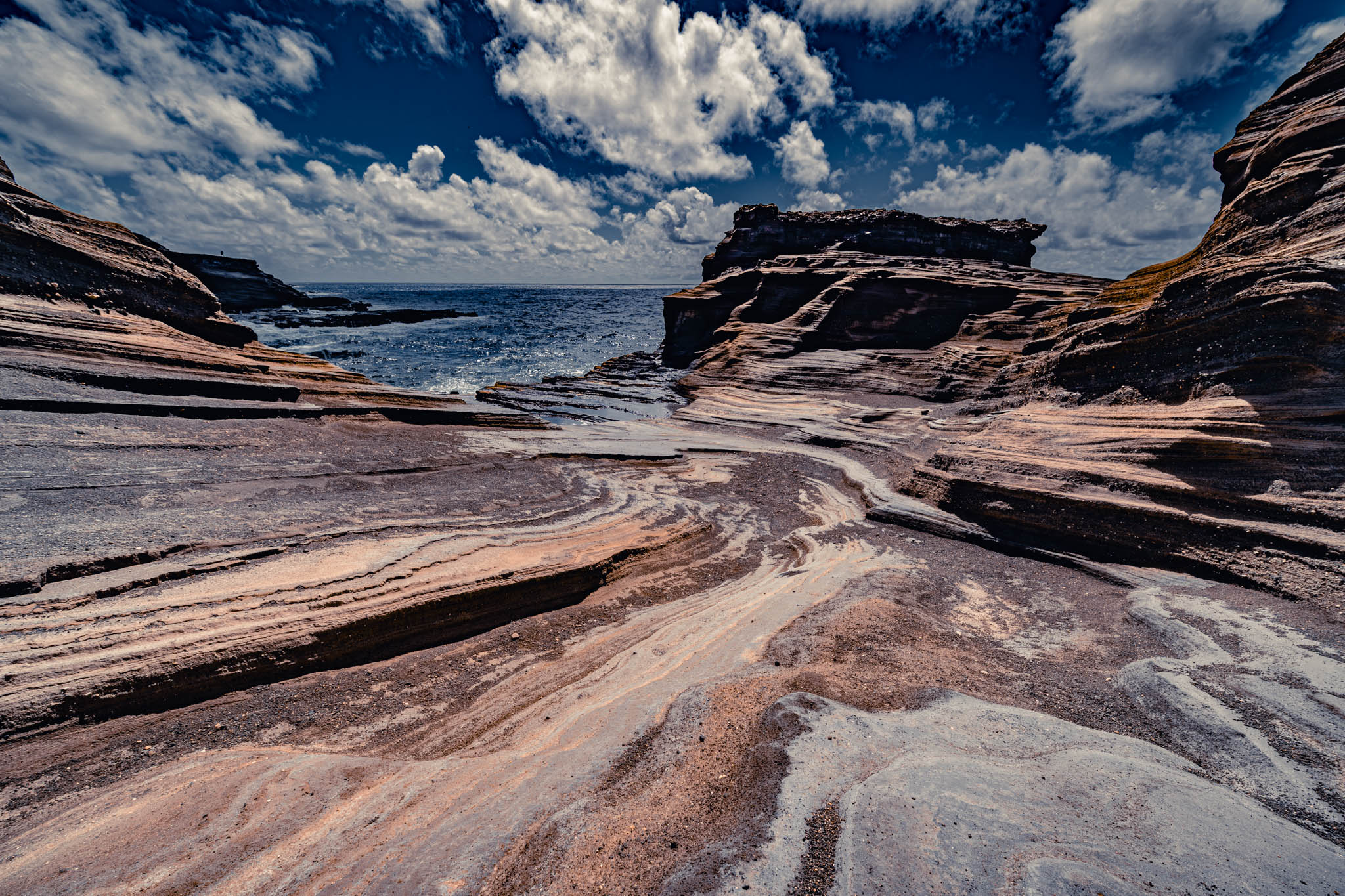
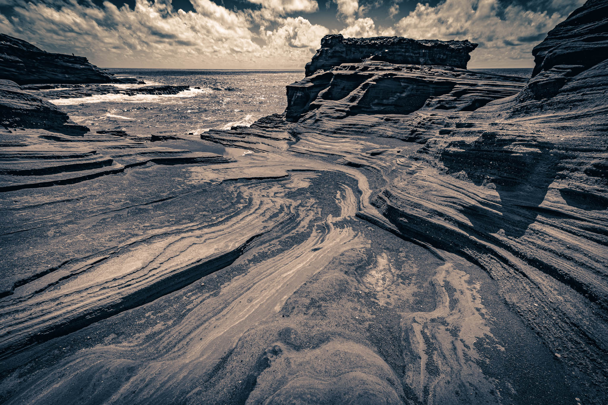
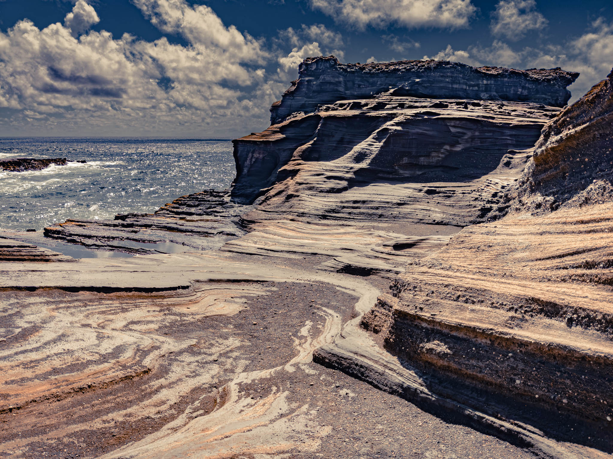
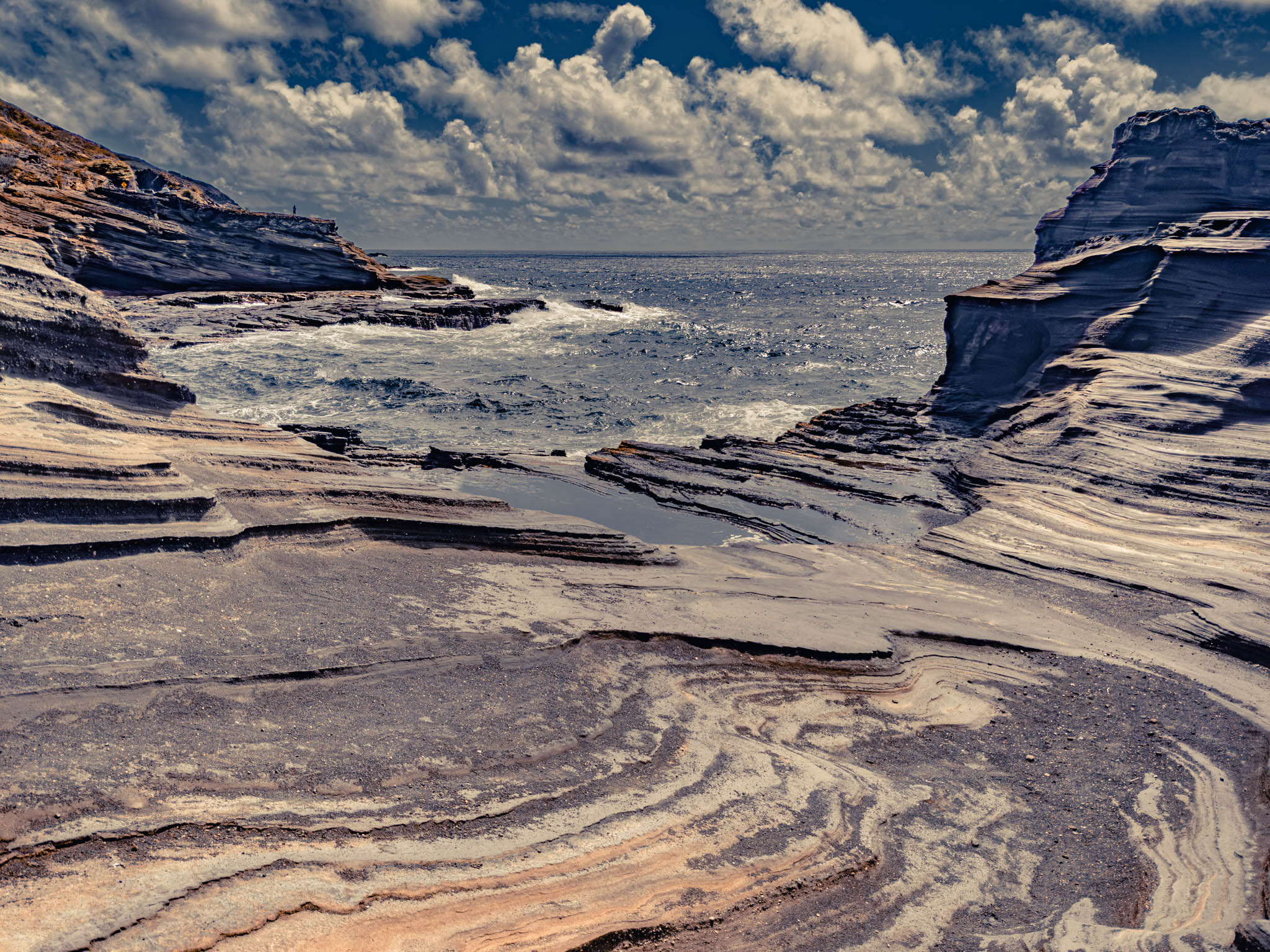
Google Maps indicated, although it was not marked in the non-virtual world, that there was a “Koko Crater Arch” trail just down the highway, opposite the Japanese Fishing Shrine. And so I took a gamble, ran across the asphalt, and hosted myself up onto the old lava ridges at a likely spot. Sure enough, there was a bit of a path.
MANY SUCH JOURNEYS ARE POSSIBLE. LET ME BE YOUR GATEWAY!
— the Guardian (“The City on the Edge of Forever”: Star Trek, 1967.)
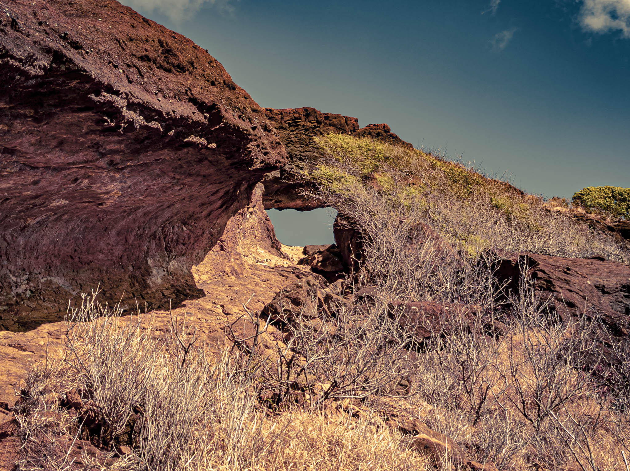
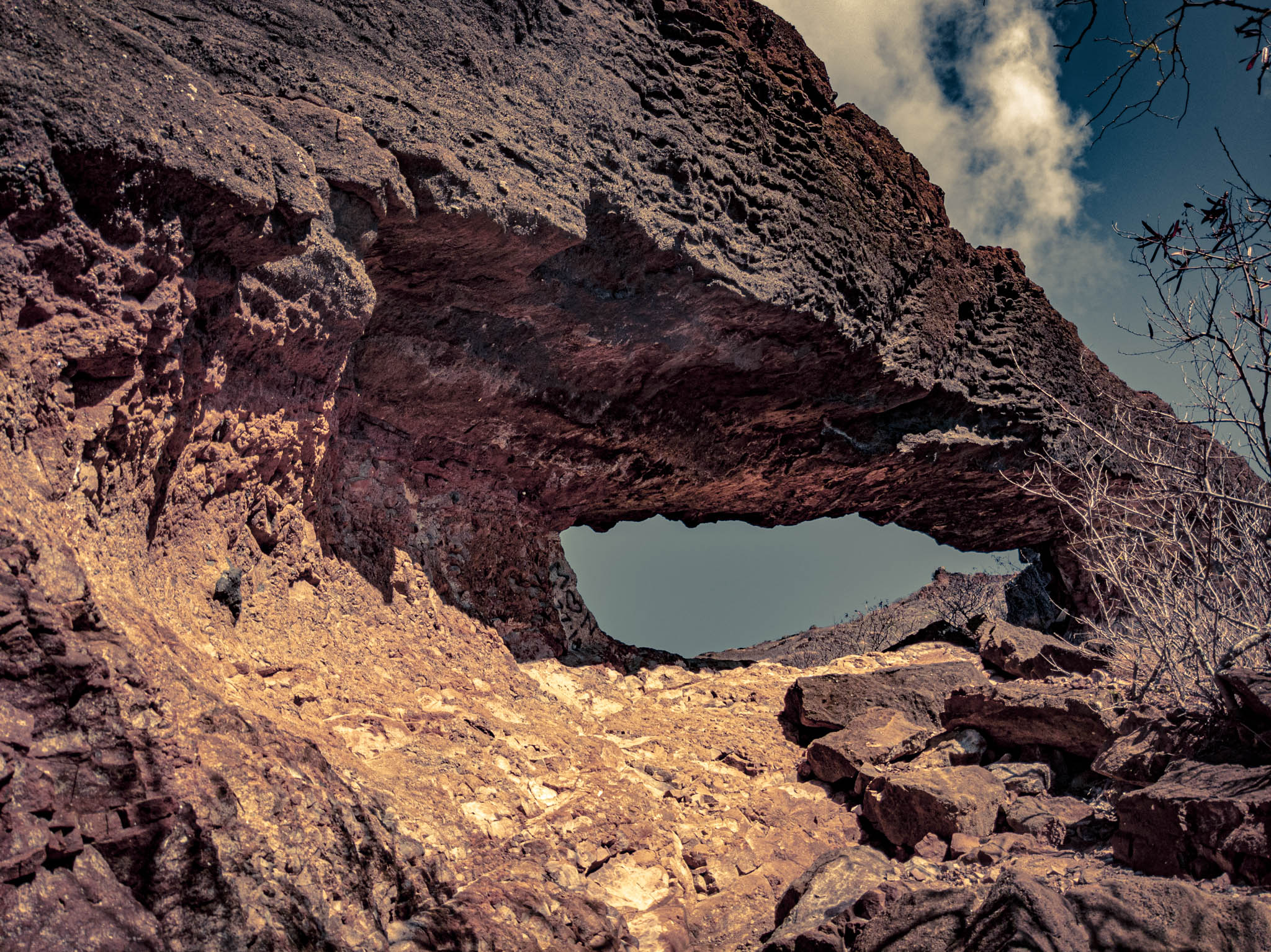
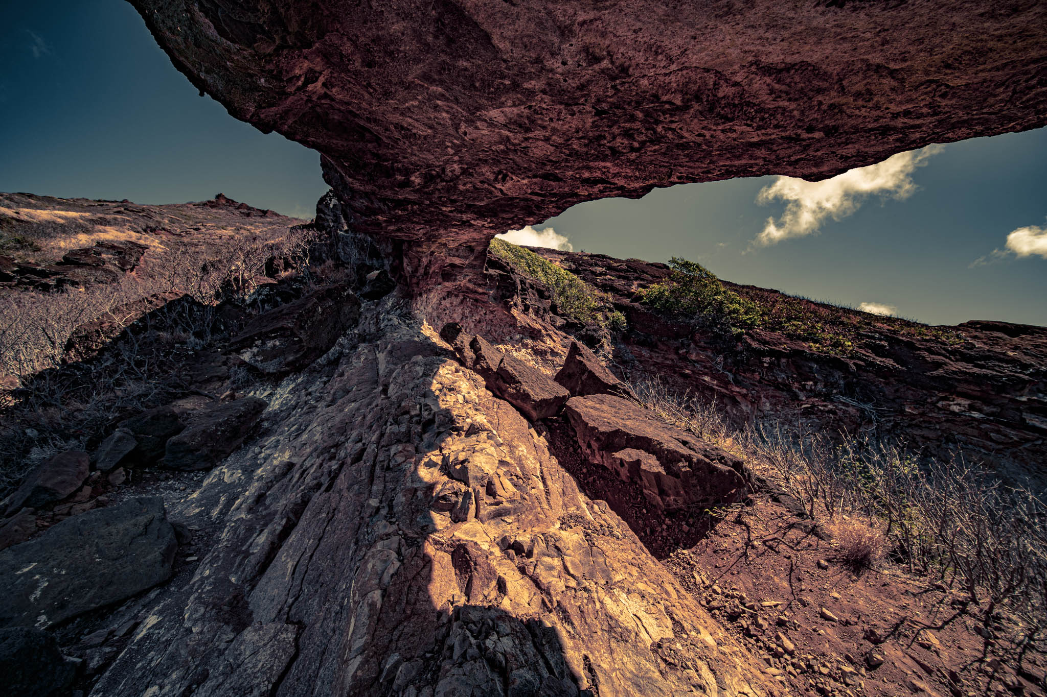
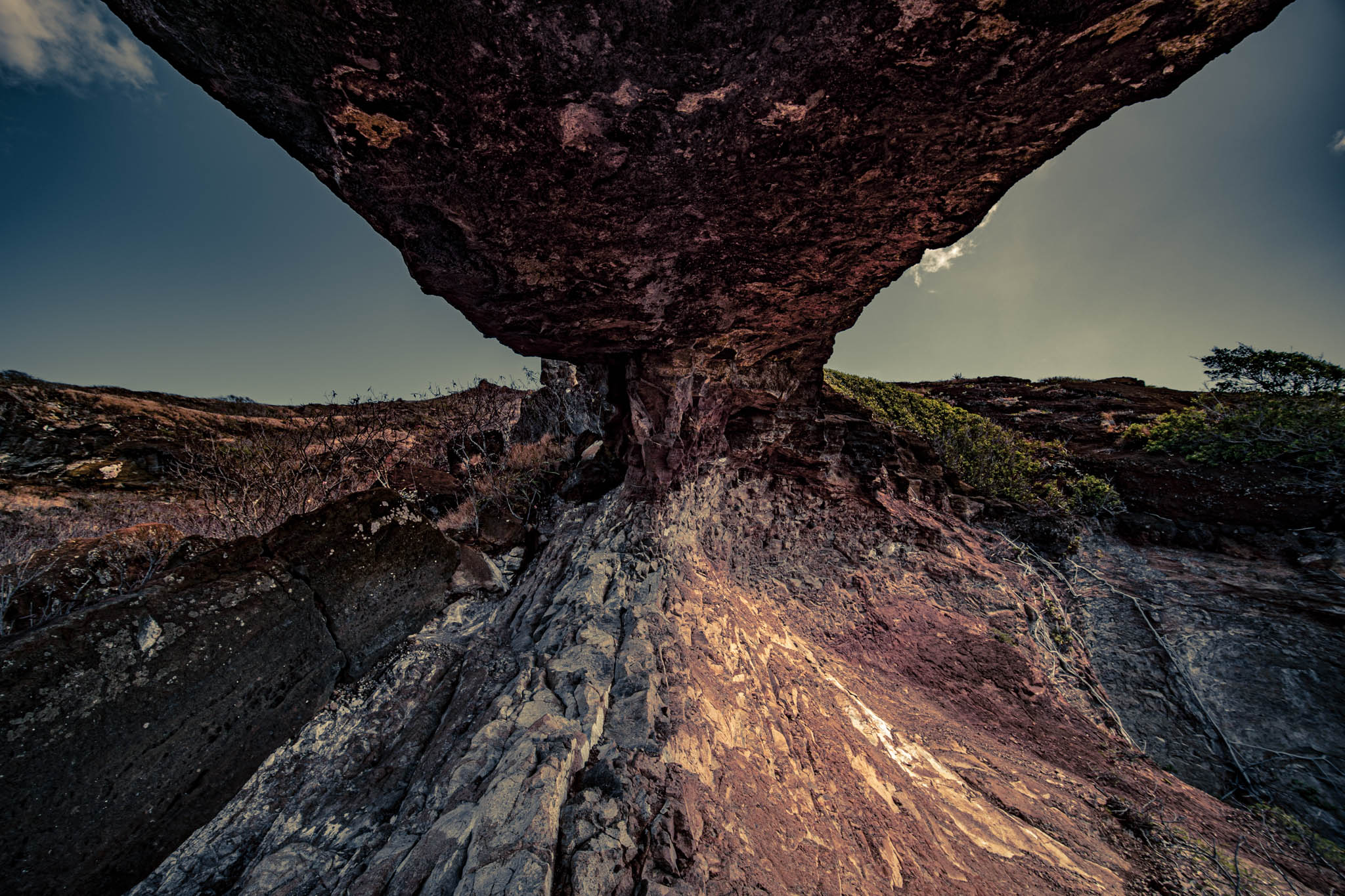
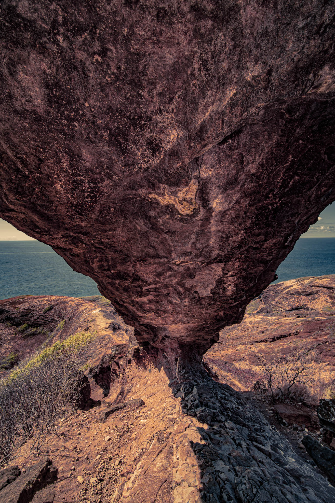
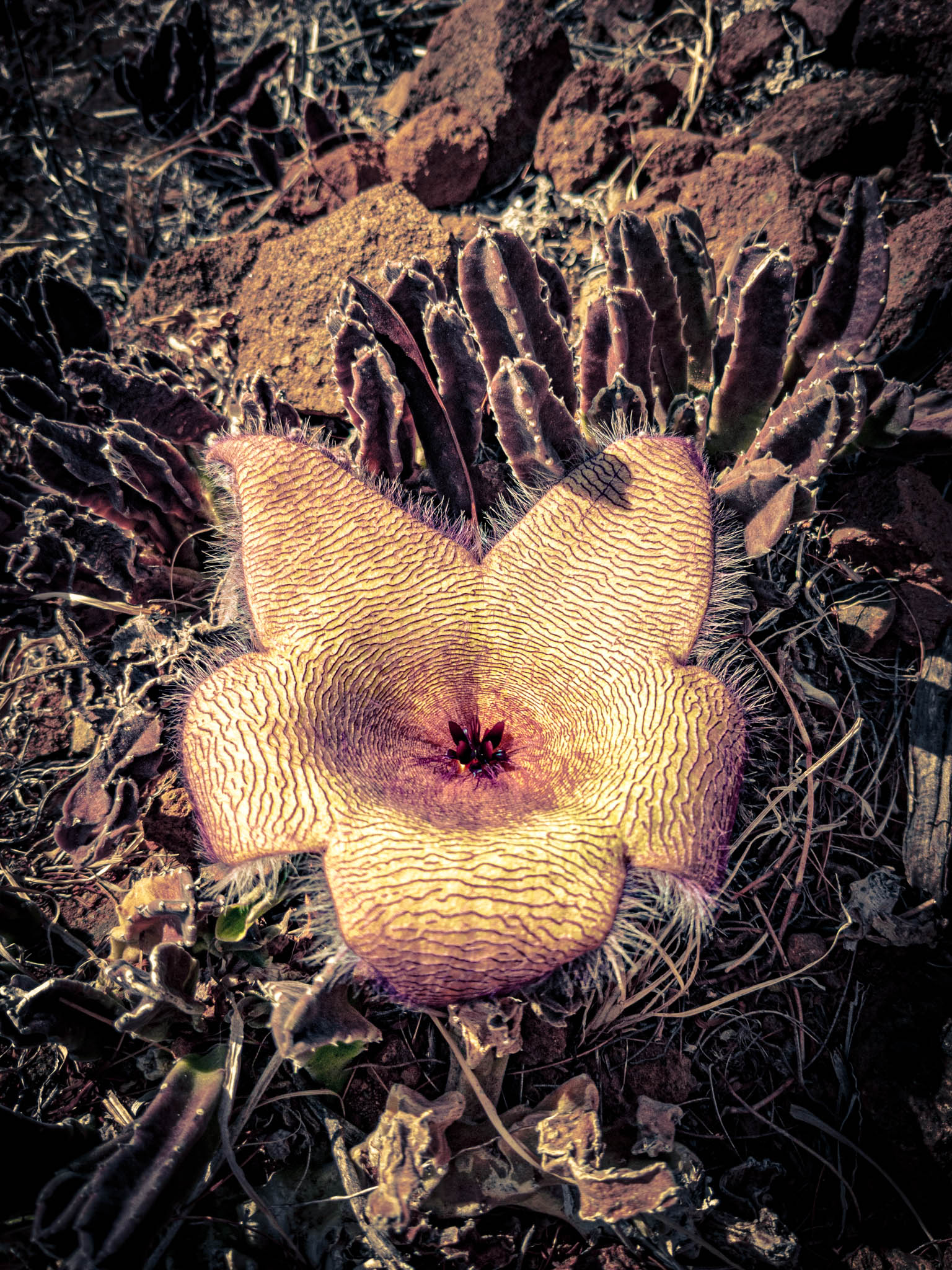
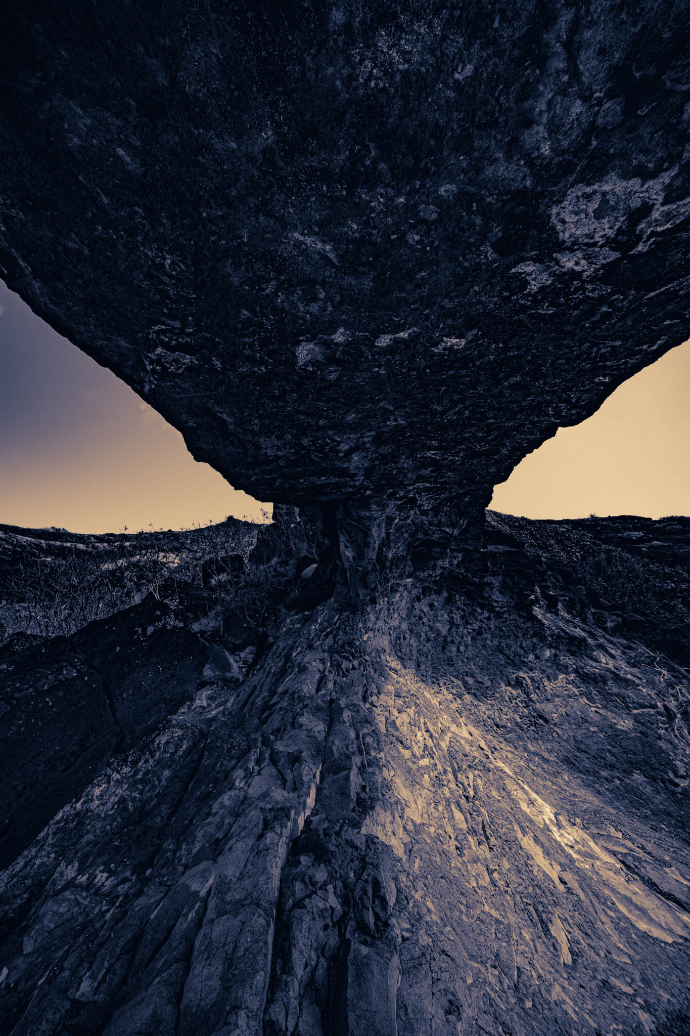
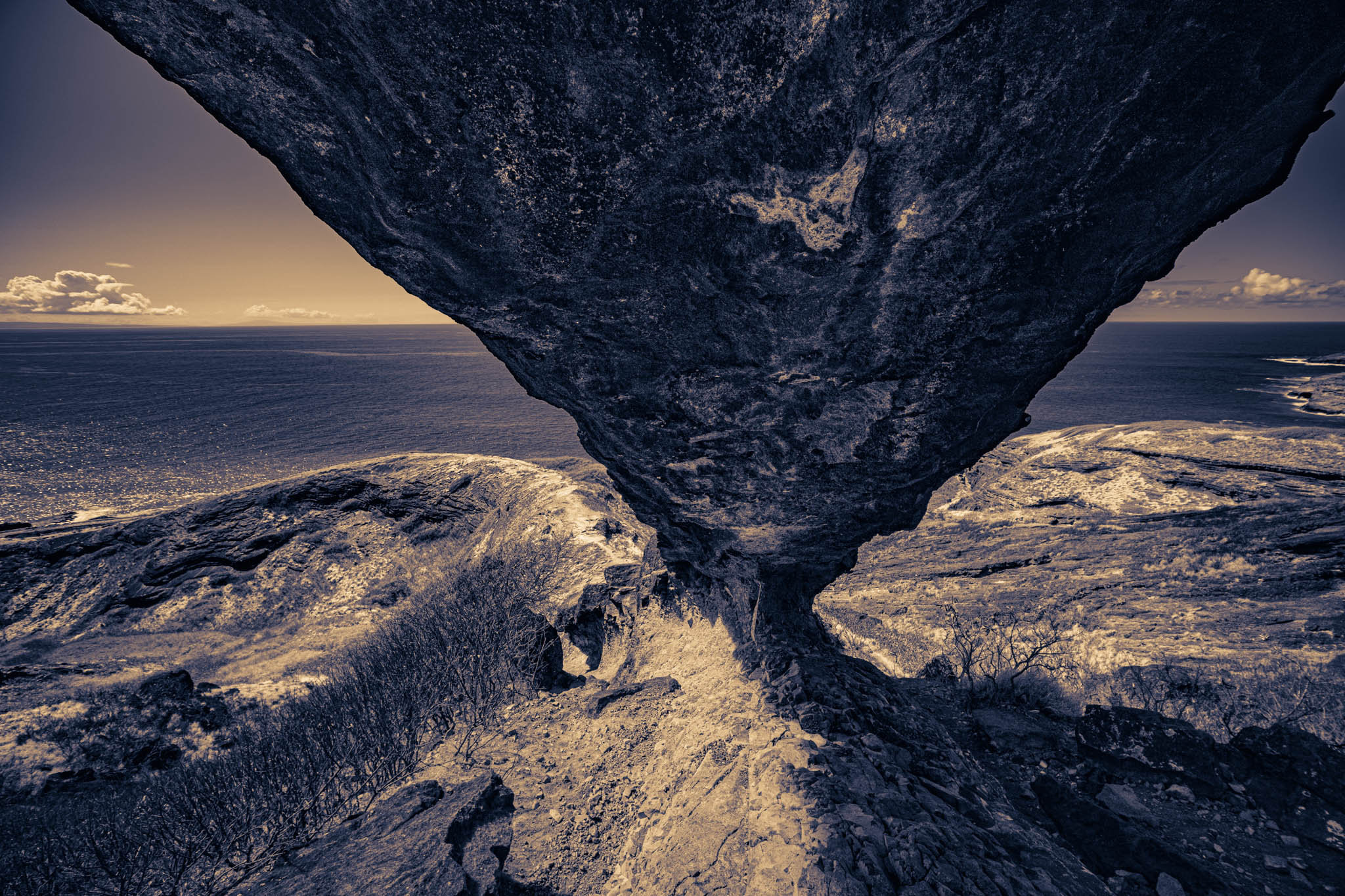
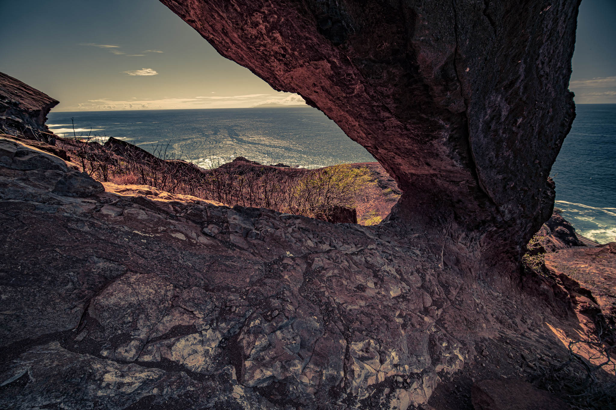
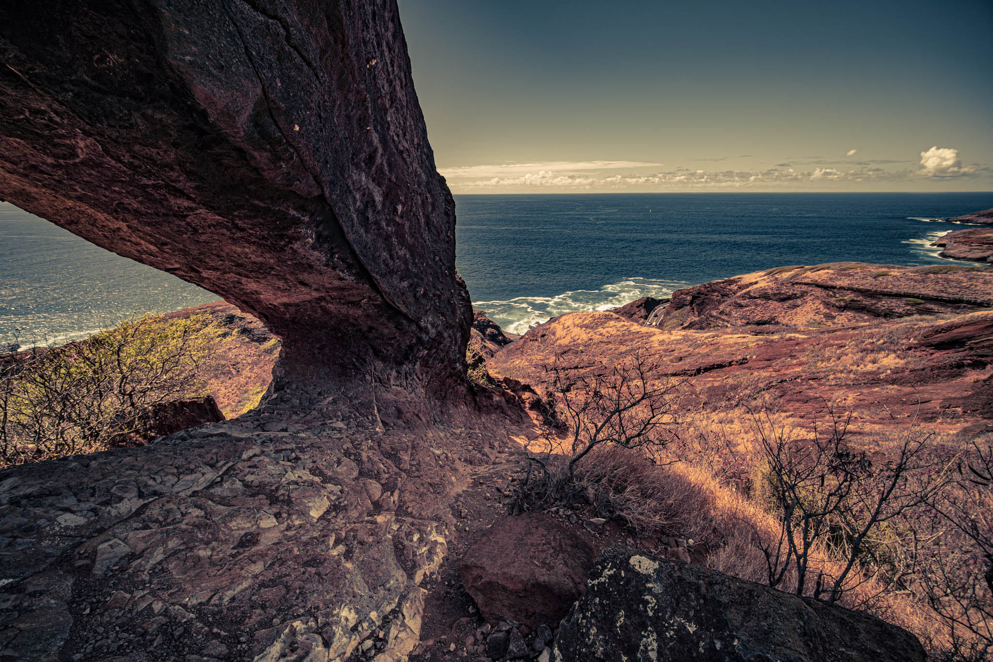
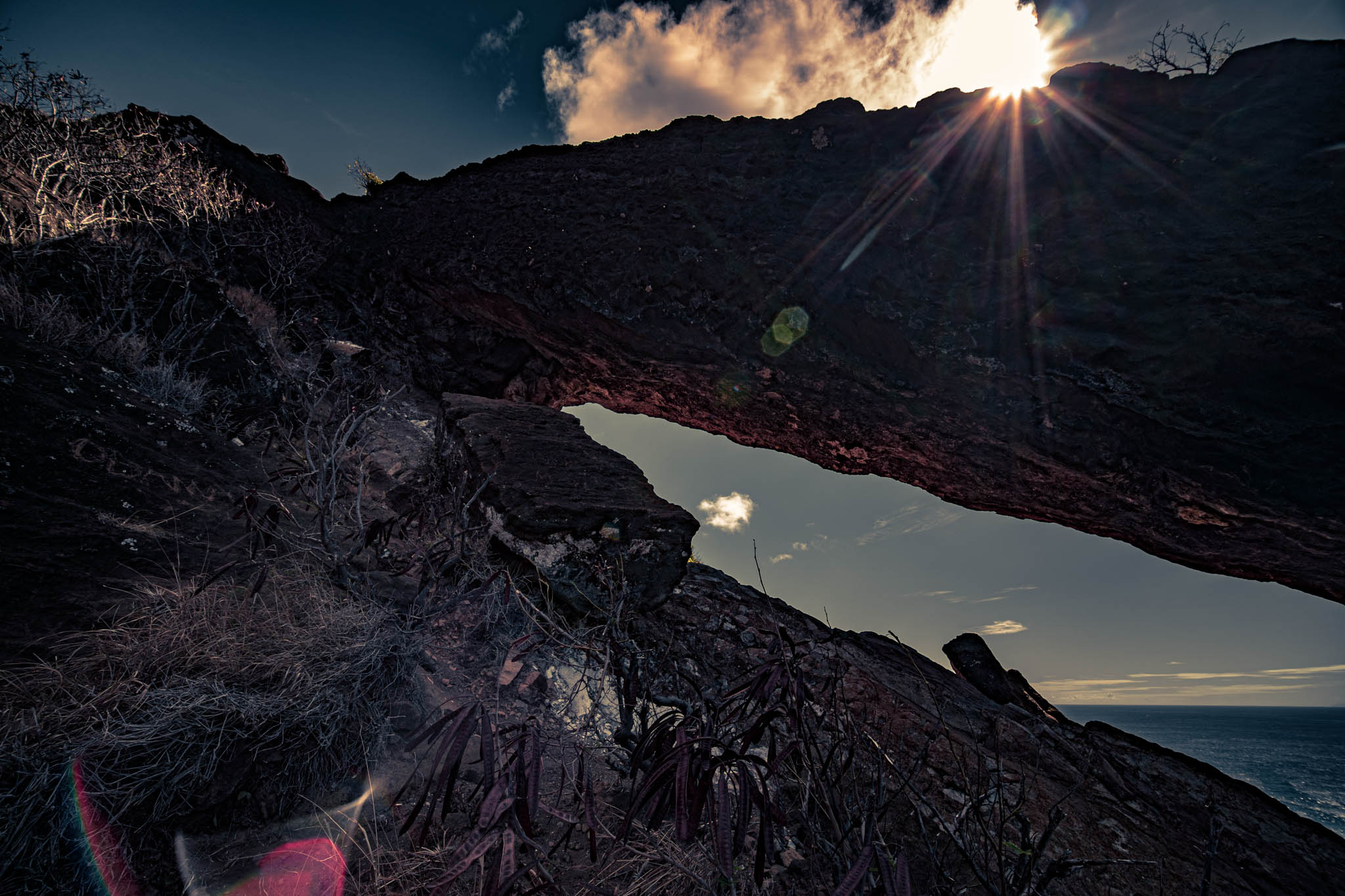
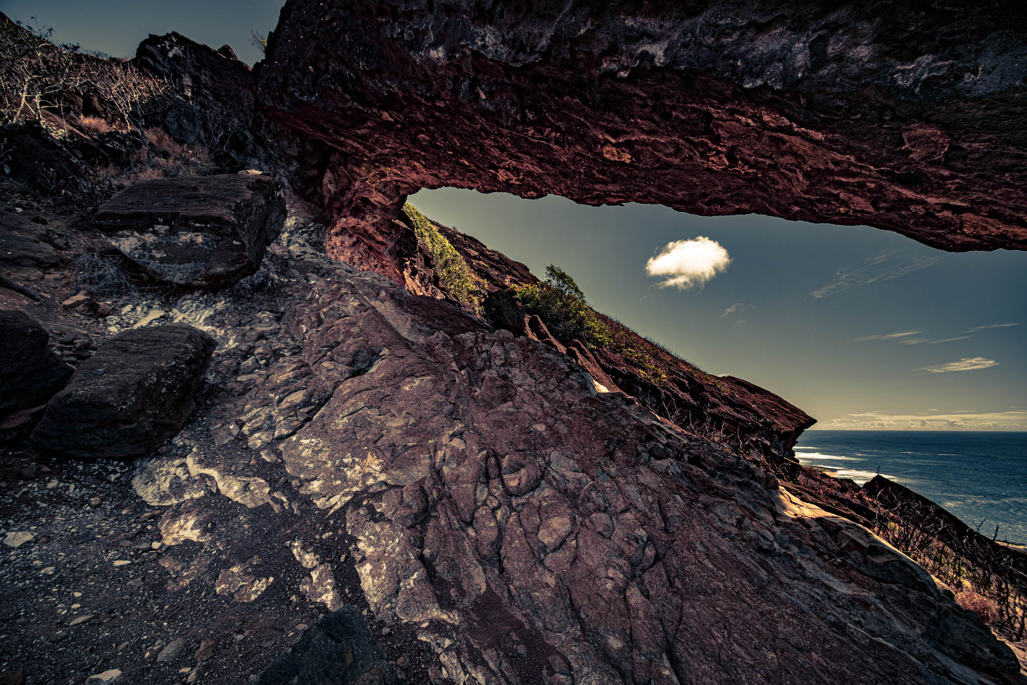
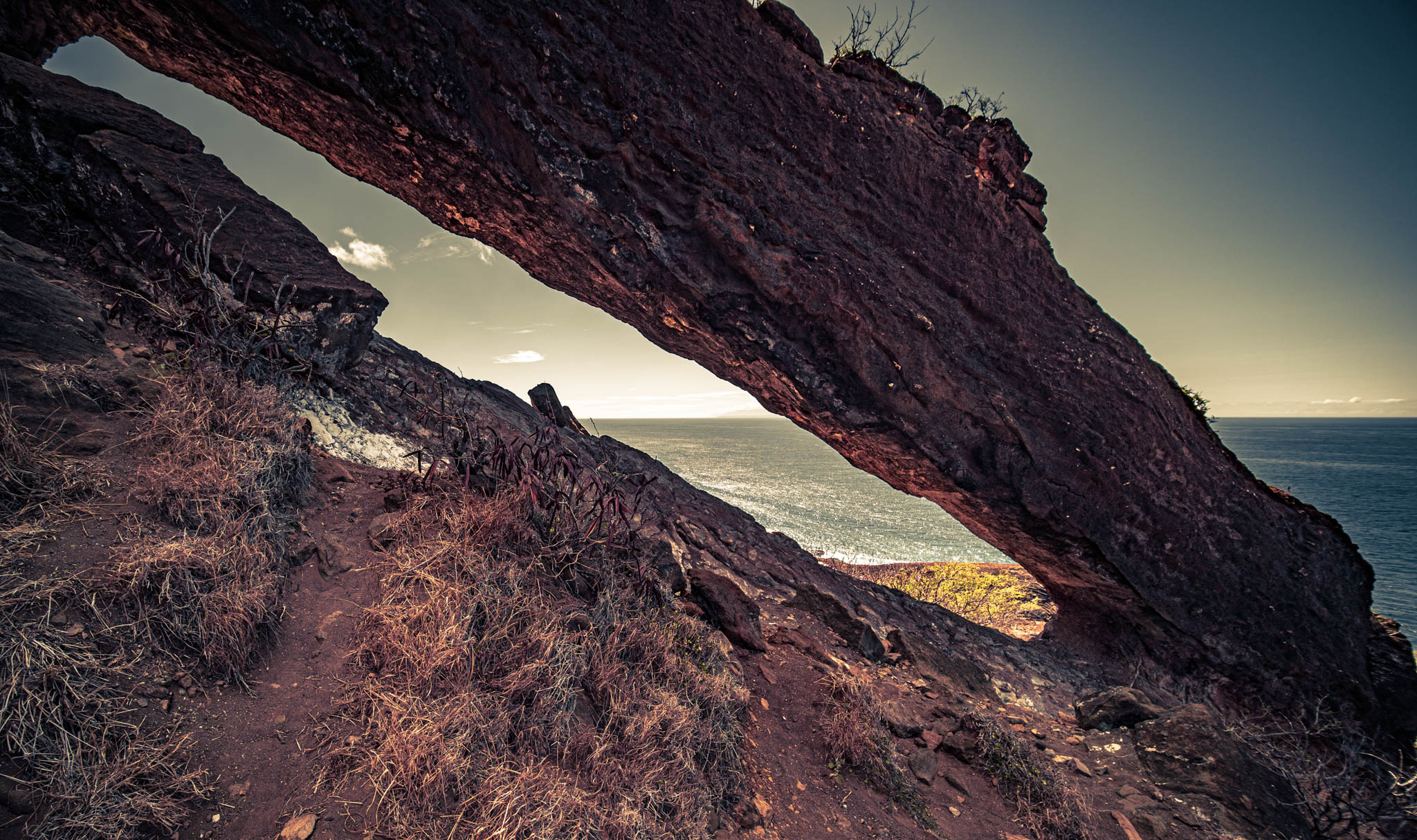
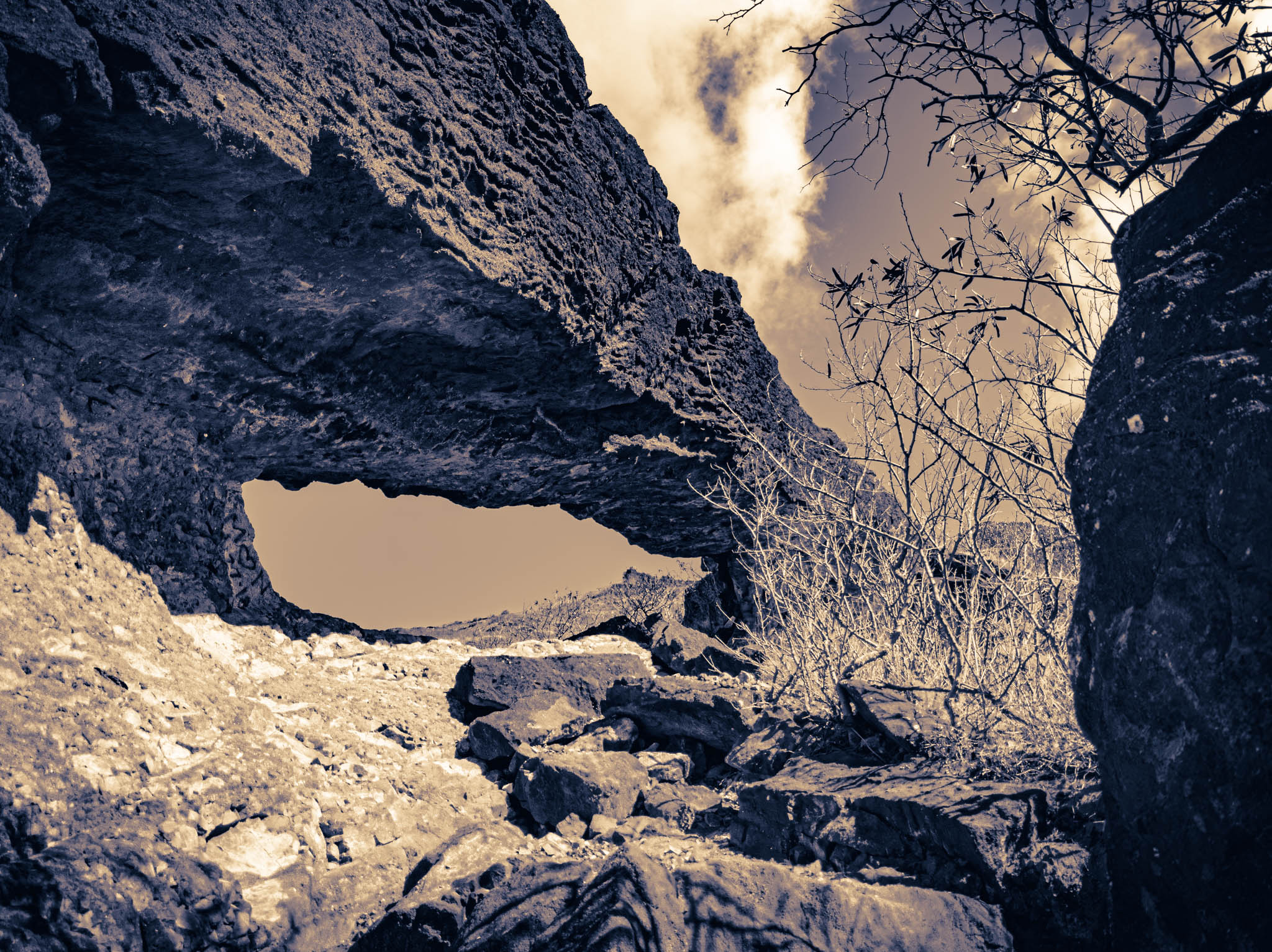
Of course, it’s just a natural arch of basalt midway up the crater. If it was a gateway to a parallel world (I can always hope), this particular alternate timeline must be exactly indistinguishable from the one I left. Except with more carrion plants. I’m certain I have never seen one of these before. They sure do look like an invasive alien life form. Like the sort of thing a monster from the Upside Down would have as a head.
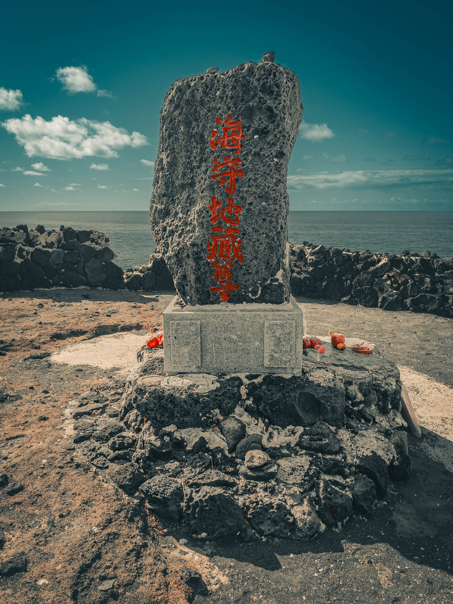
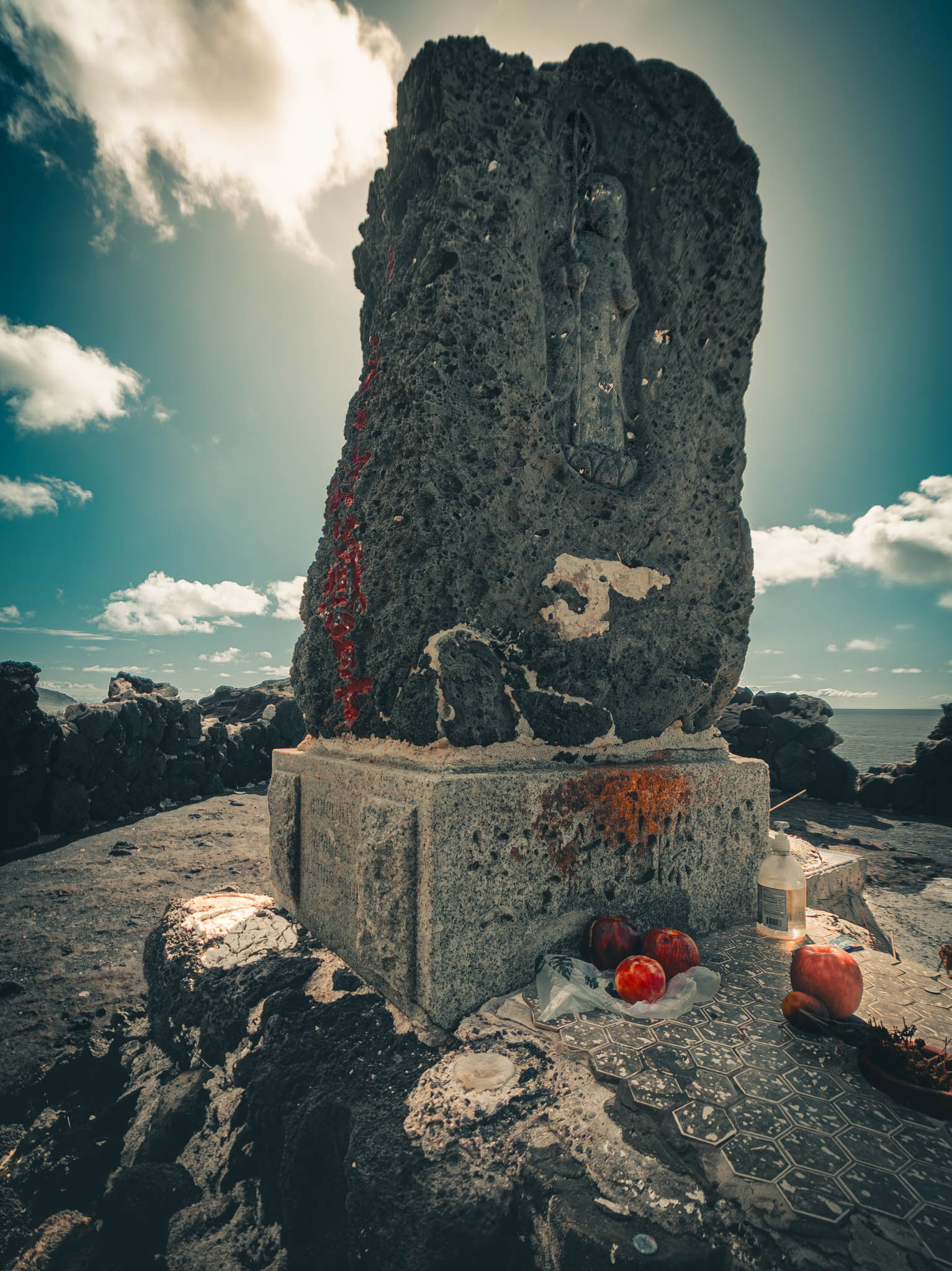
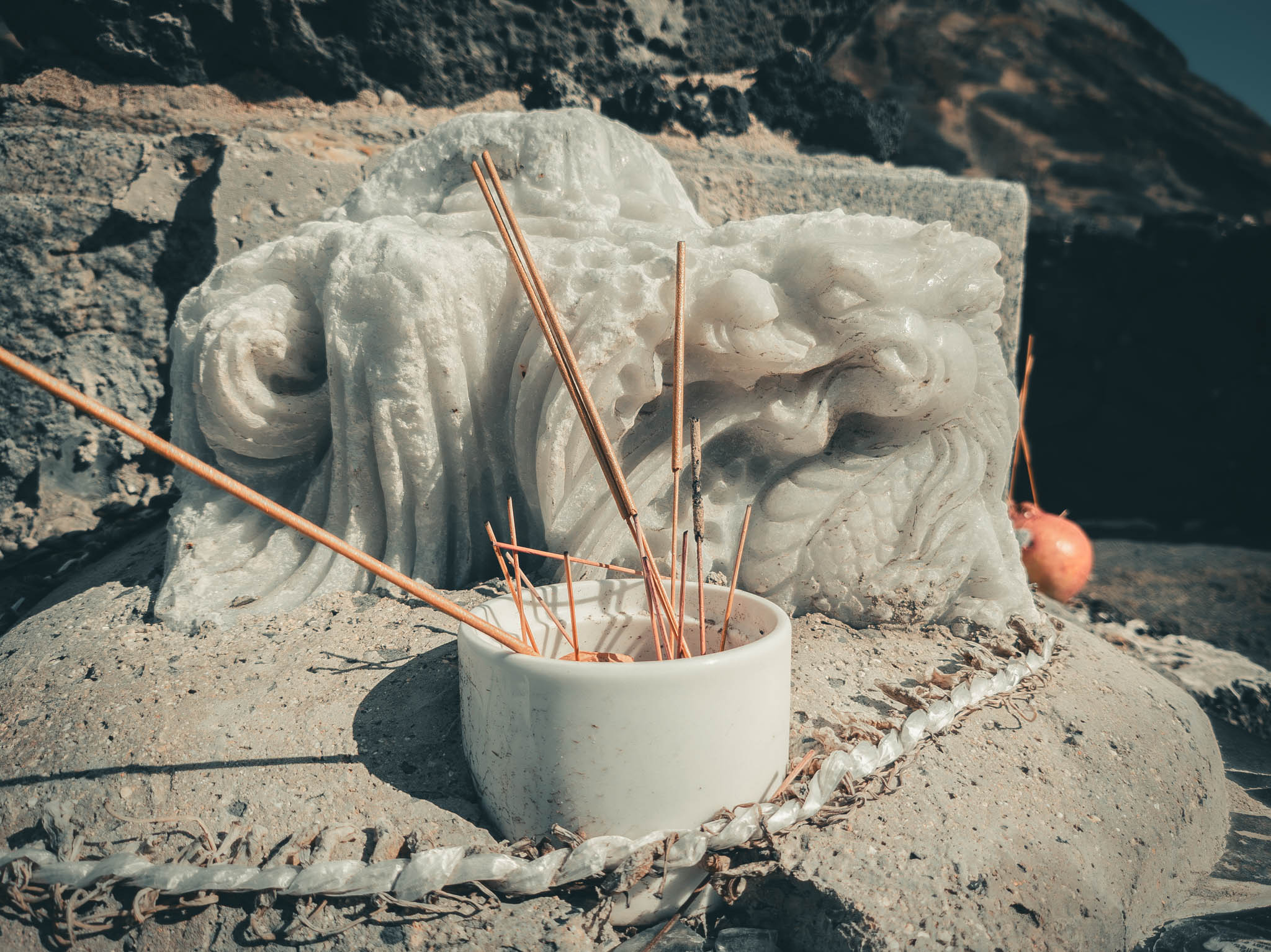
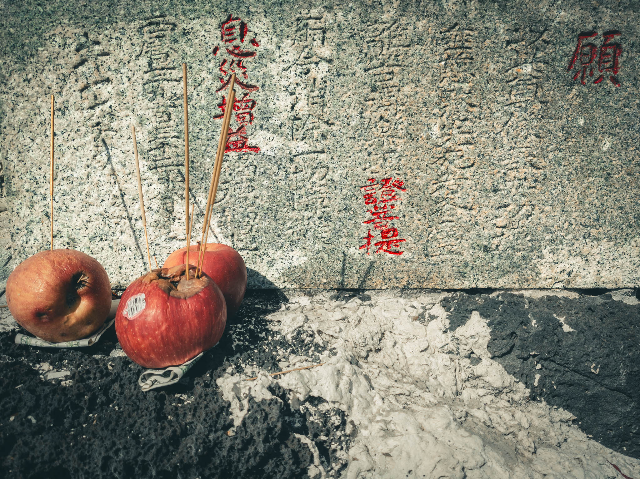
I didn’t have any small bills, or I would have left one as an offering of thanks to Jizo, who is also the bodhisattva of travelers, for guiding me to the Arch. My path, I belatedly determined, had not been the recognized one, but potentially with divine aid and despite some scrapes and stumbles I had made it anyway.
I also need to ask someone (and not the stern fisherman/shrine custodian scowling off camera) how to interpret the inscription on Jizo’s stele. Or learn to read Japanese myself. You can only get so far with approximations based on the Chinese.
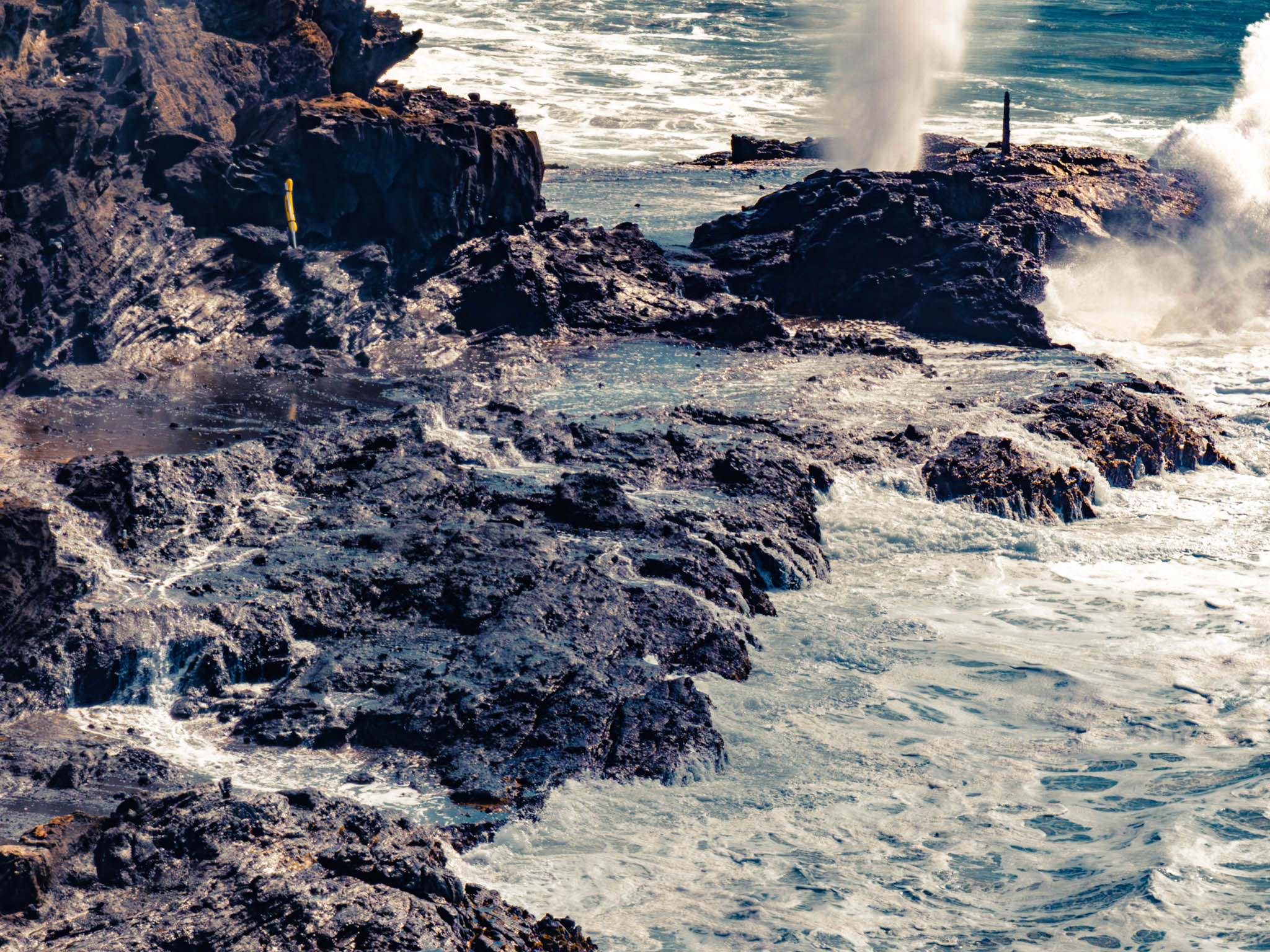
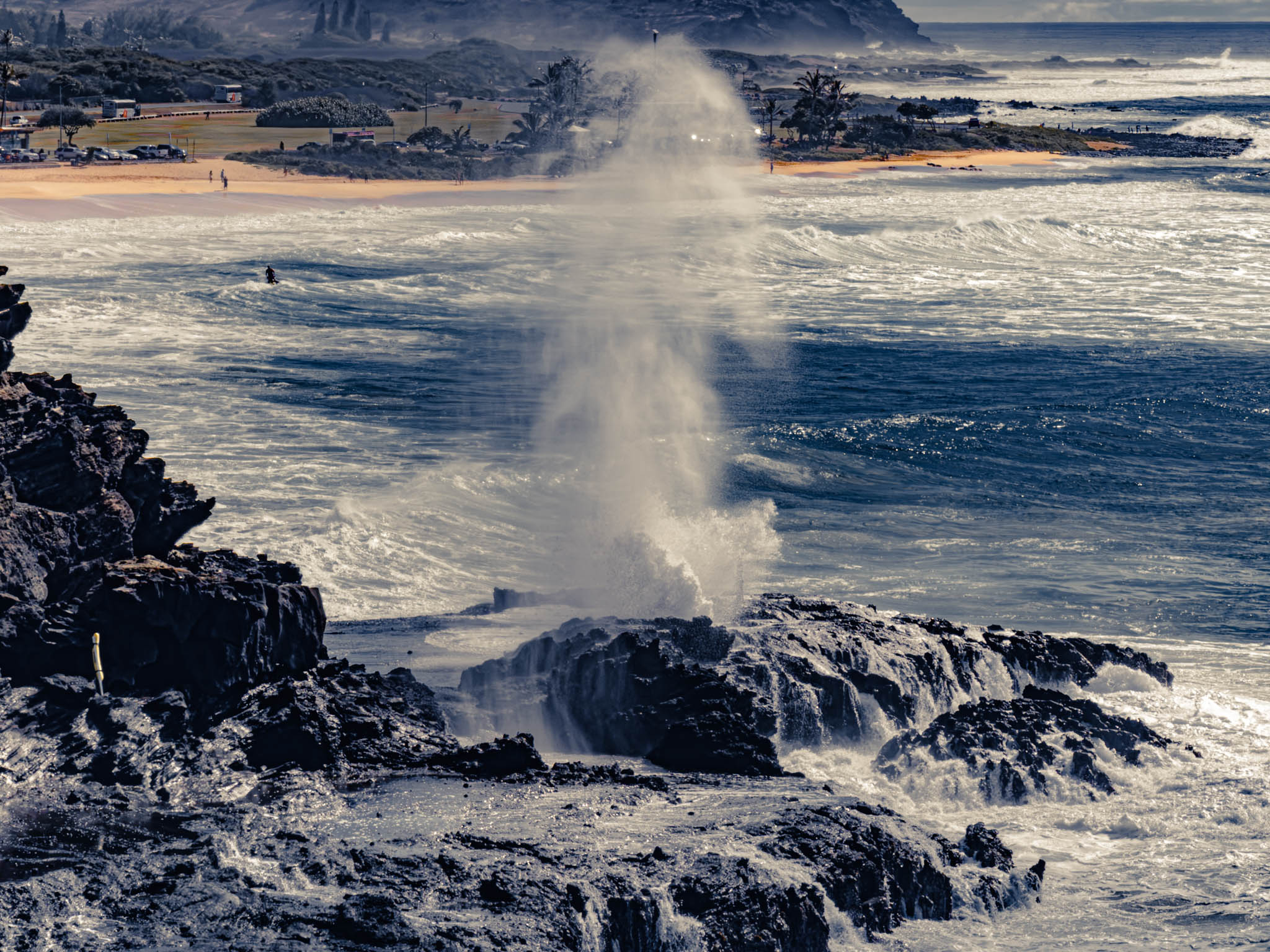
In any case, from the Shrine with a telescopic lens there is a better view of the Halona Blowhole down the coast than what I remember getting at the geyser’s own eponymous lookout.
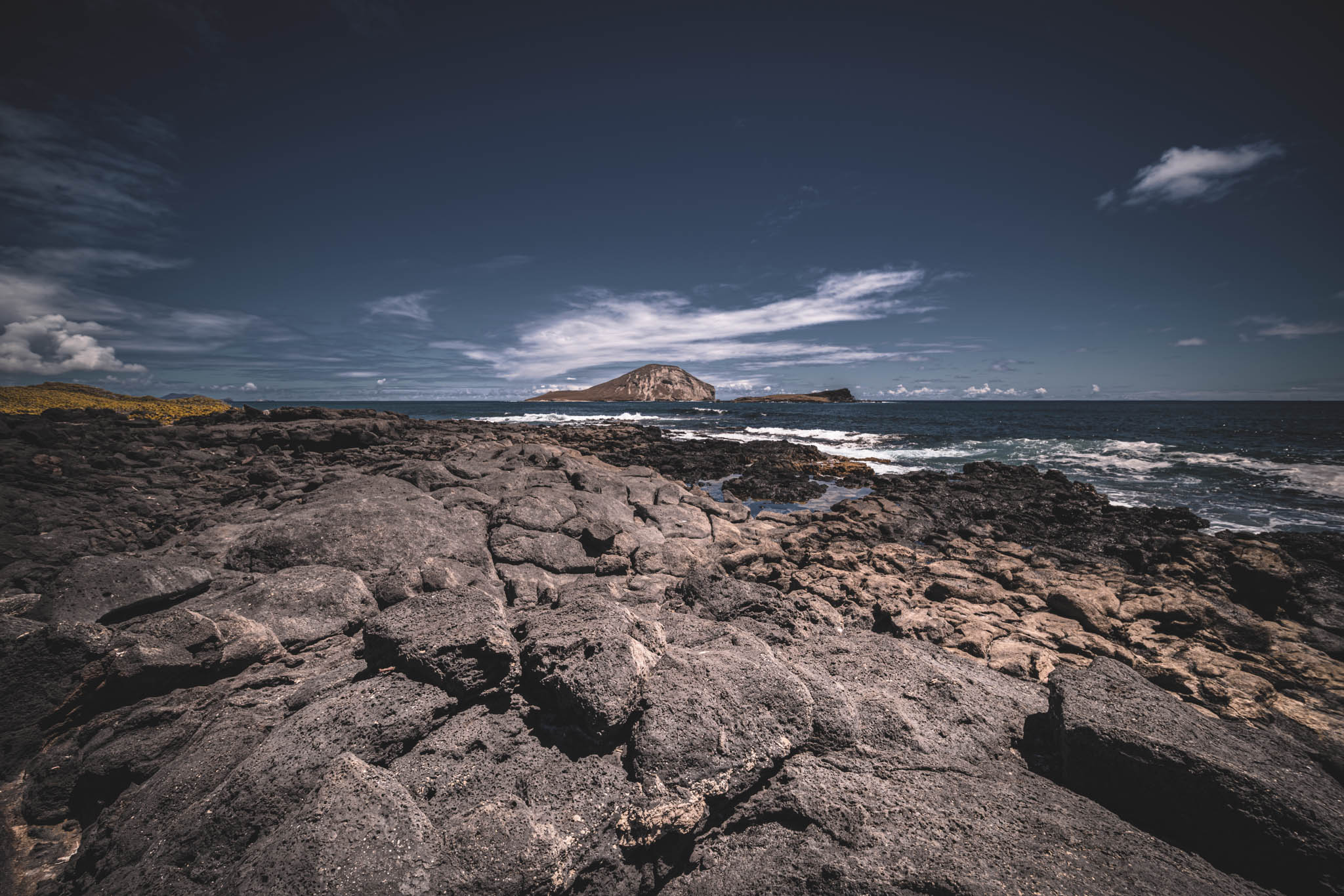
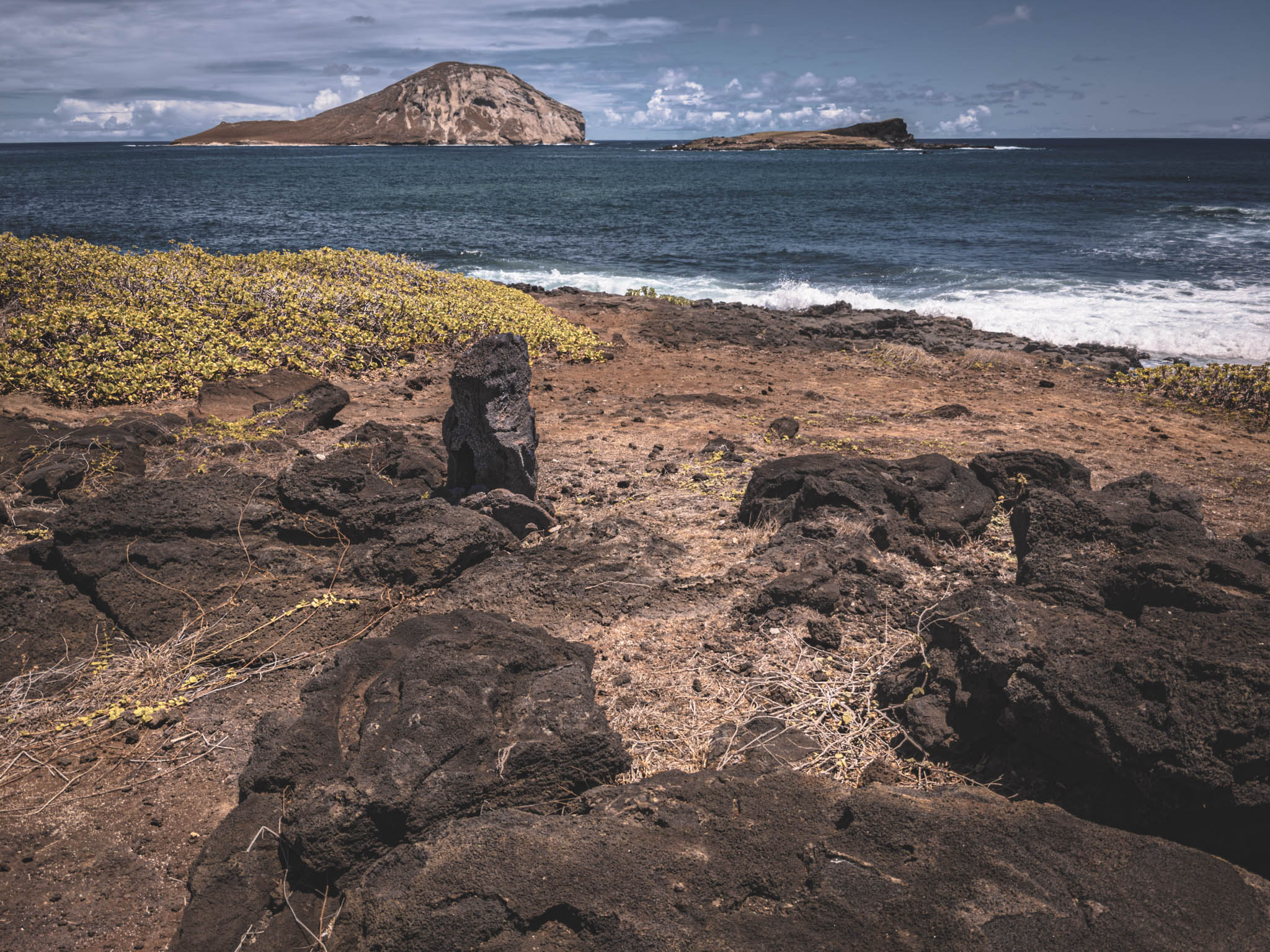
Well past the forbidden (or at least over-subscribed) trailhead to Makapu‘u Point, I turned into Makapuu Beach Park to look at the mysterious overgrown heiau (vaguely indicated on Google Maps, slightly creepy, and apparently still in use) a bit up the coast from all the little swimmers and their mothers in the sandy cove.
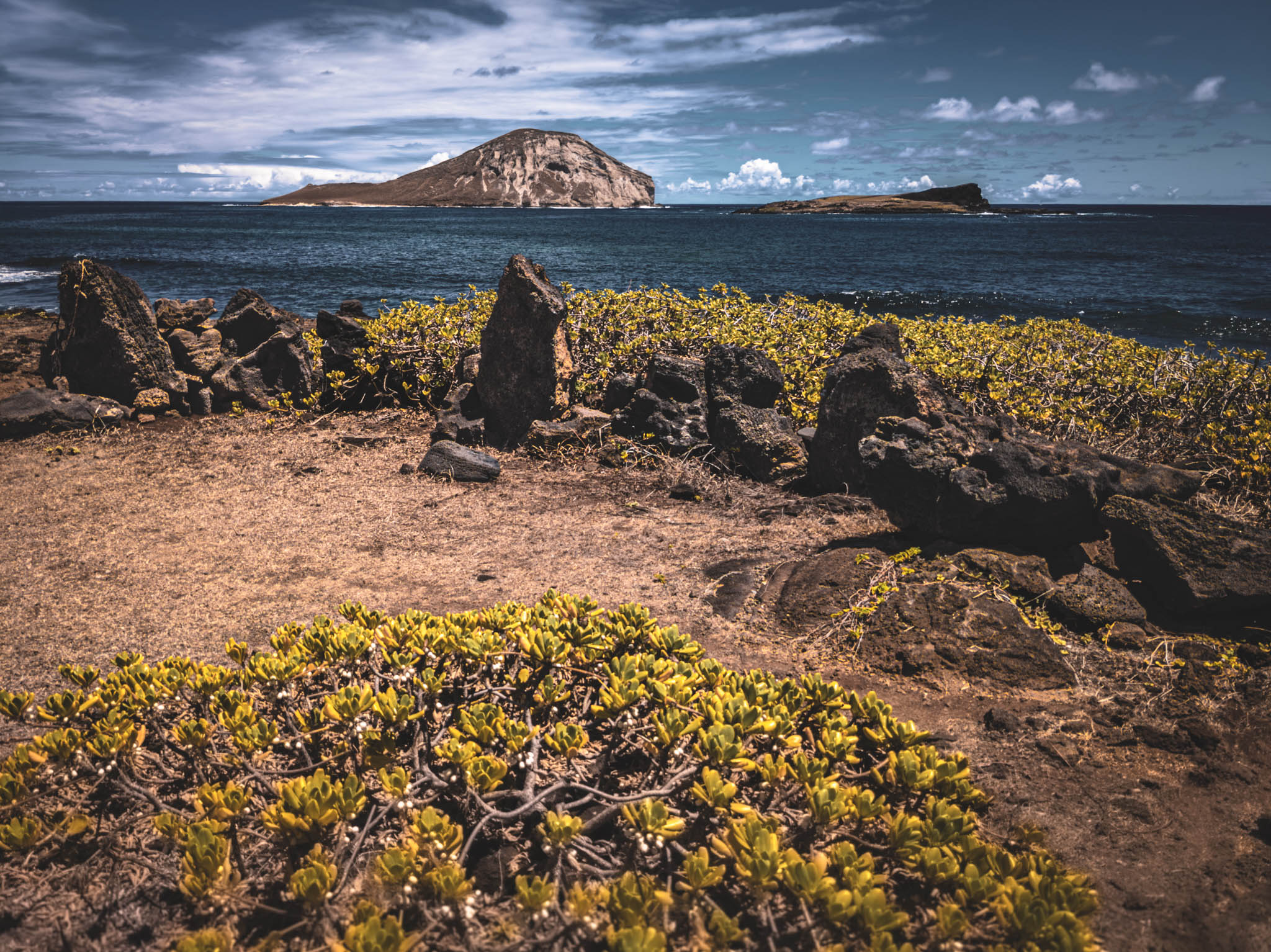
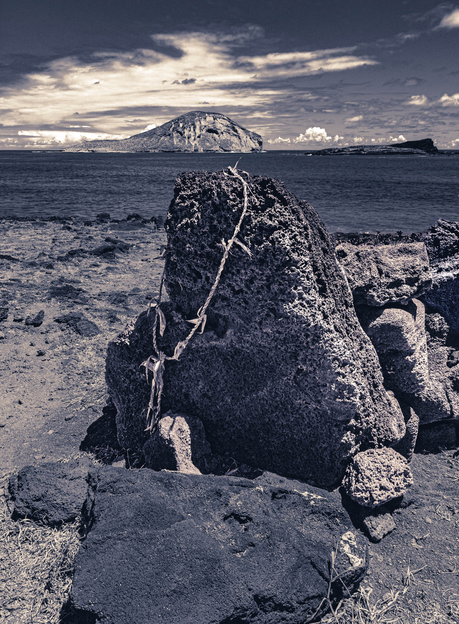
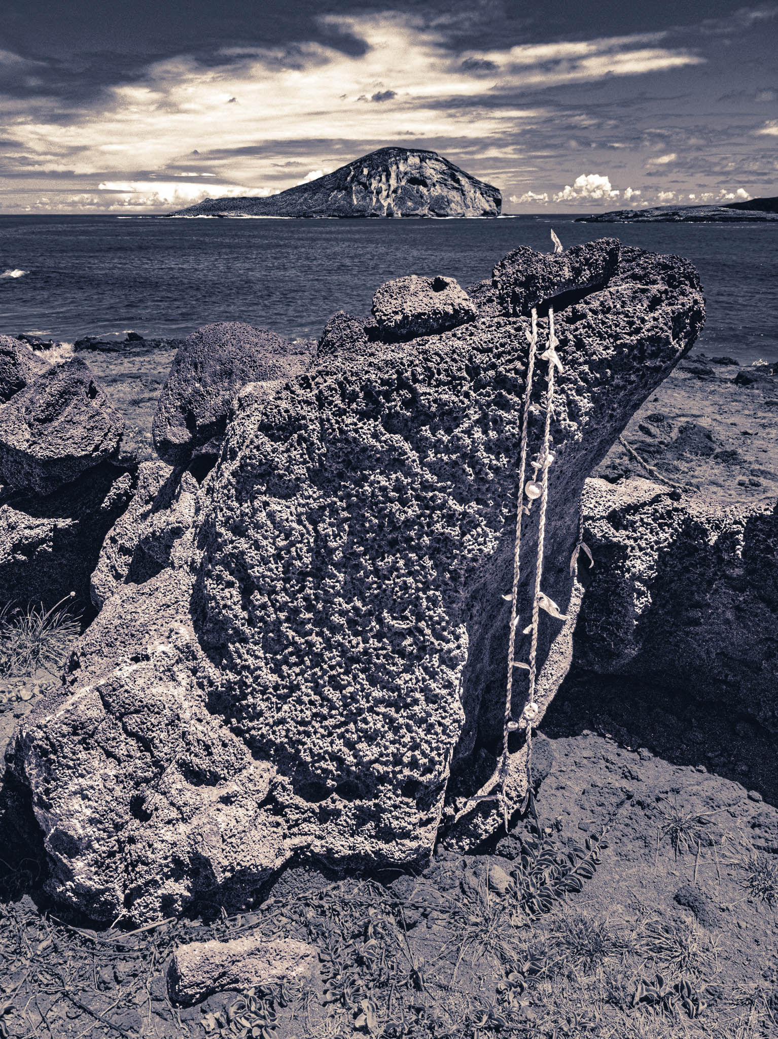
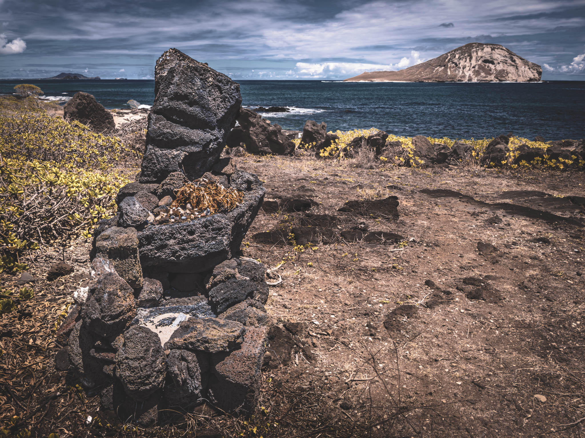
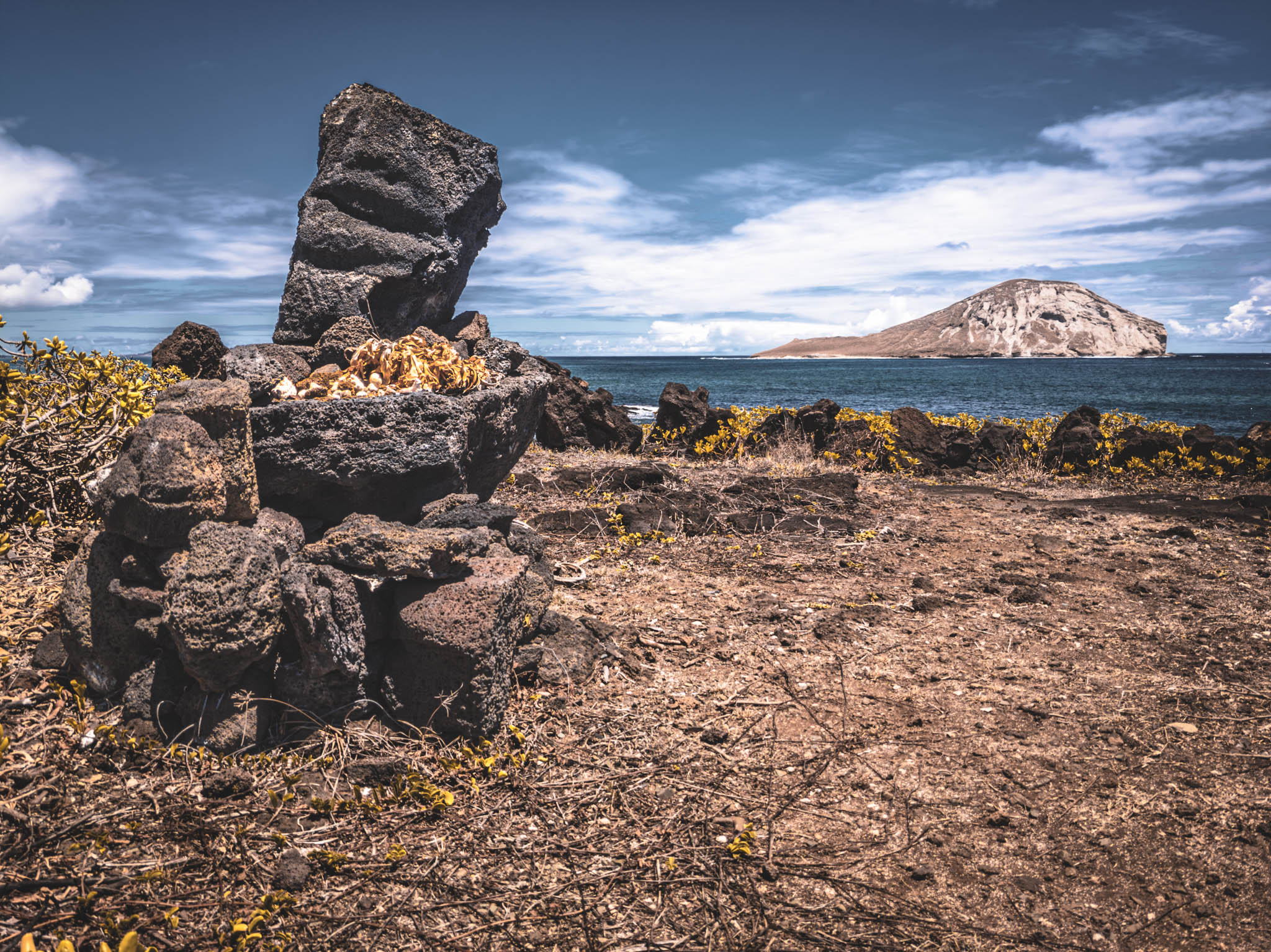
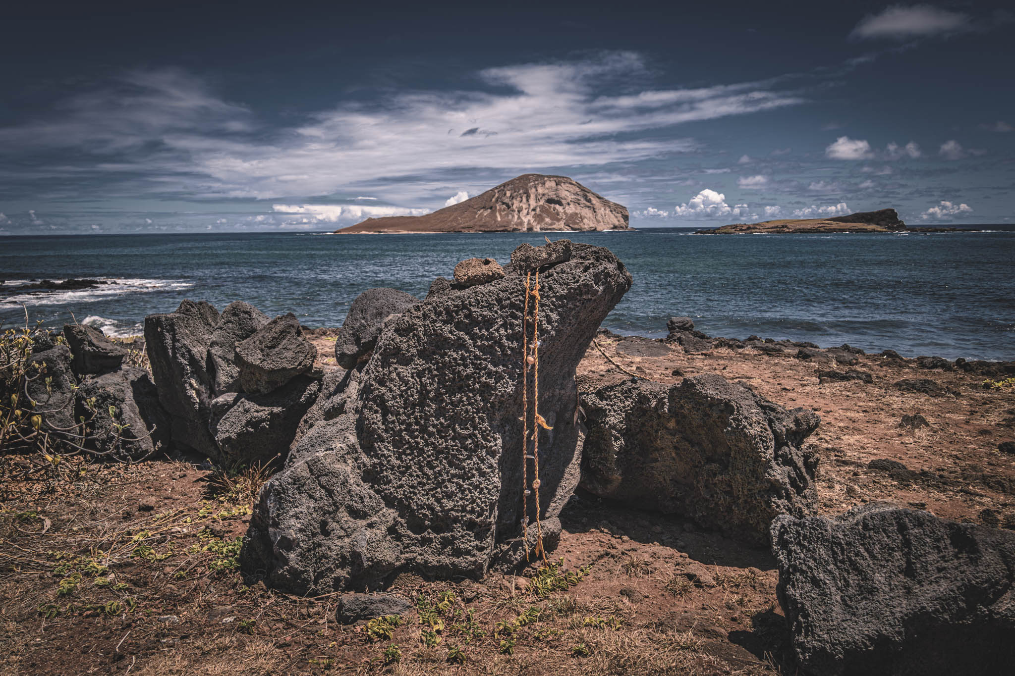
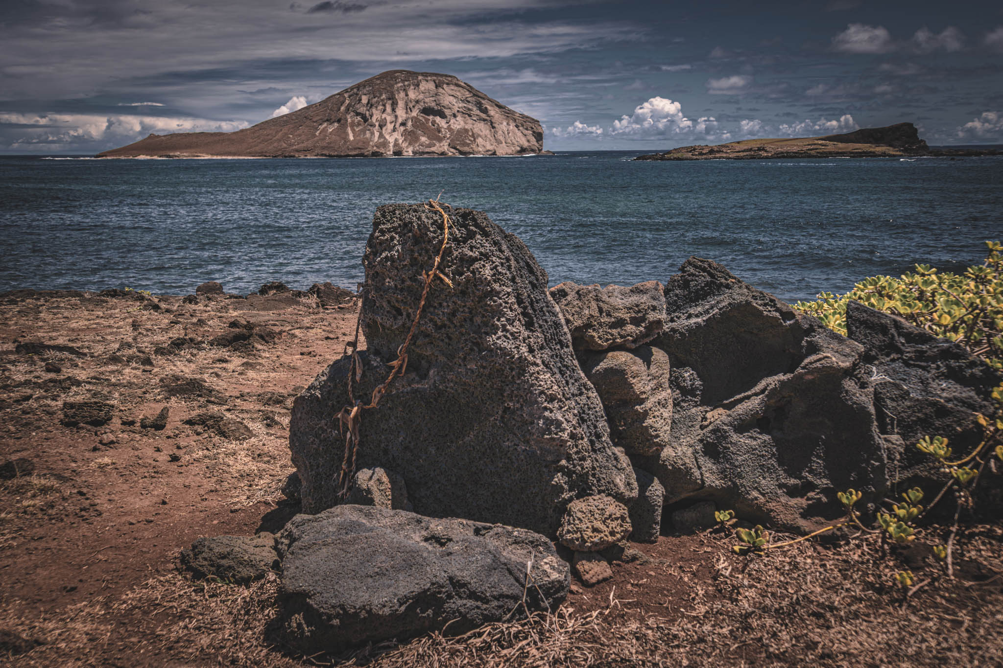
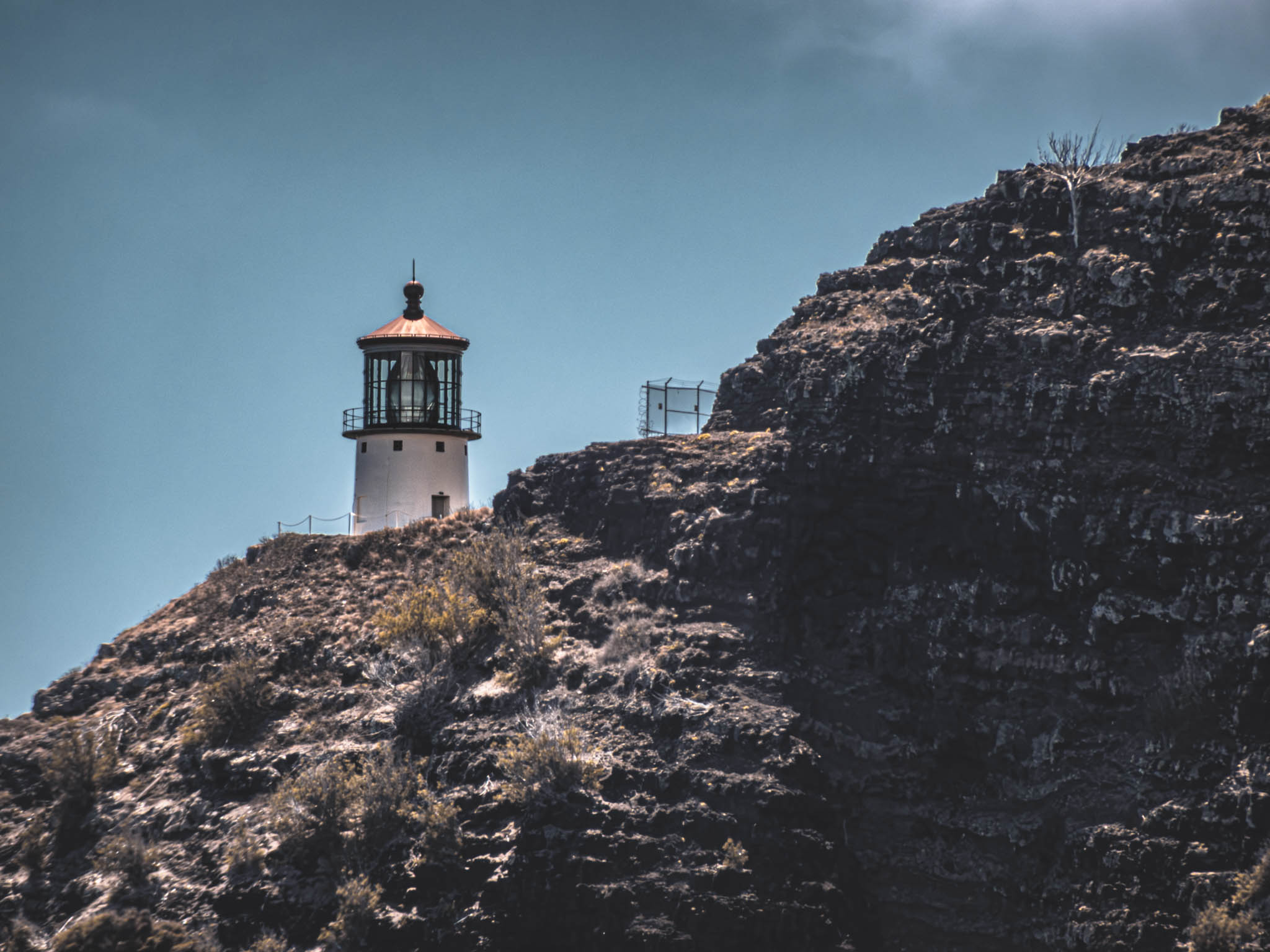
Turning back towards the parking and Kalaniana’ole Highway, I caught a glimpse of Makapu’u Point Lighthouse peeking above the headland to the south.